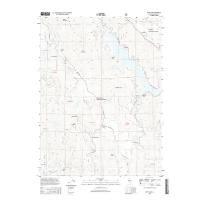
2015 Map of Ruth Lake
USGS Topo · Published 2015About this map
Ruth Lake dominates this portion of Trinity County, serving as a central geographic fixture within the Six Rivers National Forest and Trinity National Forest. The landscape is defined by its complex hydrology and dramatic relief, where the Van Duzen River and the Mad River Rock formation overlook a series of notable clearings and meadows. Settlements such as Ueland Place and Hettenshaw Valley appear alongside unique topographical features like Devils Backbone and the Rutled Opening. The map documents a network of remote forest routes, including the Ruth Zenia Rd and Star Rt HC 62, which connect isolated homesteads and natural landmarks. From the heights of Grizzly Mtn to the riparian corridor of Big Meadow Cr, the survey illustrates the enduring patterns of land use and naming in this section of Northern California.
Find a feature on this map
48 named features on this map. Tap any name to fly to it.
Don’t see what you’re looking for? This feature index may not catch every label — zoom into the map to look around manually.
Map Details
Editions of this 2015 Ruth Lake Map
This is the sole edition of this map. No revisions or reprints were ever made.
Other maps of this area
1918 · Anada
USGS Topo · 1:62,500
1920 · Harris
USGS Topo · 1:62,500
1921 · Hoaglin
USGS Topo · 1:62,500
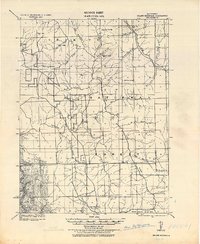
1922 · Island Mountain
USGS Topo · 1:62,500
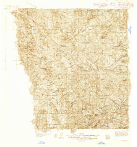
1931 · Hoaglin
USGS Topo · 1:96,000
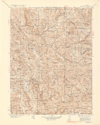
1935 · Hoaglin
USGS Topo · 1:125,000
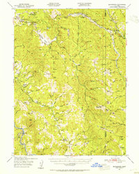
1949 · Blocksburg
USGS Topo · 1:62,500
1949 · Alderpoint
USGS Topo · 1:62,500
1951 · Alderpoint
USGS Topo · 1:62,500
1951 · Blocksburg
USGS Topo · 1:62,500