
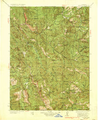
1935 Map of Hoaglin
USGS Topo · Published 1935About this map
Trinity National Forest and Mendocino National Forest define the backdrop of this mid-1930s survey, capturing a remote landscape of the Northern Coast Ranges. The map reveals a network of high-elevation meadows and valleys, notably Hoaglin Valley and Hettenshaw Valley, which supported isolated ranching and homesteading life. These small communities are anchored by several local schoolhouses, including Hettenshaw Sch and Long Ridge Sch, and a series of family-named landmarks such as the Double A Ranch, White Ranch, and Wilburn Ranch.
Find a feature on this map
172 named features on this map. Tap any name to fly to it.
Don’t see what you’re looking for? This feature index may not catch every label — zoom into the map to look around manually.
Map Details
Editions of this 1935 Hoaglin Map
3 editions found
Other maps of this area

1890 · Red Bluff
USGS Topo · 1:250,000

1894 · Red Bluff
USGS Topo · 1:250,000

1909 · Big Bar
USGS Topo · 1:96,000

1913 · Weaverville
USGS Topo · 1:125,000

1914 · Pilot Creek
USGS Topo · 1:62,500

1915 · Big Bar and Vicinity
USGS Topo · 1:250,000

1918 · Anada
USGS Topo · 1:62,500

1920 · Cummings
USGS Topo · 1:62,500

1920 · Covelo
USGS Topo · 1:62,500

1920 · Harris
USGS Topo · 1:62,500