Old Maps of Van Duzen, California for Genealogy
Trace your family roots with 10 historic maps of Van Duzen. These high-res maps reveal old neighborhoods, homesites, landmarks, and streets — helping you uncover where your ancestors lived and how the area evolved over time.
- Explore historic neighborhoods: Identify where your relatives may have lived in the 1800s or 1900s.
- Compare maps over time: Trace the changes in streets, buildings, and landmarks for multi-generational research.
- Perfect for genealogy & ancestry research: Used by family historians and researchers to map out lineage and migration.
These maps are an incredible resource for exploring your personal connection to Van Duzen's past.
Van Duzen, CA maps
(10)- 1949 Map of Blocksburg, 1955 Print
 1949 Blocksburg1955 Print · USGSHumboldt County ranching and timberlands are captured here in the late 1940s, showing the remote canyon country before modern development. Genealogists and local historians can locate early family holdings like Cobb Ranch and the vanished Buck Mtn School.2 unique versions available
 - 1951 Map of Blocksburg
 1951 Blocksburg1951 Print · USGSHumboldt County ranching and timber country are captured here in the early fifties, spanning the divide between the Eel and Mad Rivers. Genealogists and historians can locate remote family holdings like Payton Ranch, the Buck Mtn School, and the Northwestern Pacific rail line at Eel Rock.2 unique versions available
 - 1958 Map of Redding
 1958 Redding1958 Print · USGSNorthern California's valley and mountain landscapes are captured in the late fifties, showing the region as new reservoirs reshaped the river systems. Genealogists and historians can trace rail-side towns like Cottonwood, the military presence at Red Bluff Air Force Station, and mountain outposts like Weaverville.5 unique versions available
 - 1977 Map of Dinsmore, 1978 Print
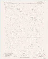 1977 Dinsmore1978 Print · USGSThe Humboldt and Trinity county line meets in this 1970s survey of the mountain forests and river valleys. Researchers can trace the local infrastructure of Dinsmore, from the Southern Trinity High School to the Dinsmore-Humboldt County Airport.2 unique versions available
 - 1979 Map of Garberville, 1996 Print
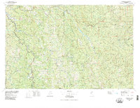 1979 Garberville1996 Print · USGSThe redwood forests and river canyons of Humboldt and Trinity counties are shown here in the late seventies. Genealogists and historians can trace rail-side life along the Northwestern Pacific RR or locate small settlements like Fort Seward, Alderpoint, and Zenia.
 - 1997 Map of Dinsmore, 2001 Print
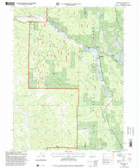 1997 Dinsmore2001 Print · USGSThe mountain communities of the California coast range are documented here in the late nineties, centered on the river valleys of the Six Rivers National Forest. Researchers can trace the layout of Dinsmore and Mad River, including local landmarks like Southern Trinity High School and the Dinsmore-Humboldt County Airport.
 - 2012 Map of Dinsmore, 2012 Print
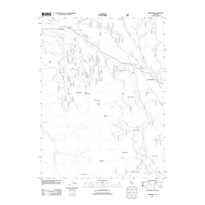 2012 Dinsmore2012 Print · USGSTrinity County's rugged drainage basins are documented here in the early twenty-first century as the Van Duzen River winds past remote outposts. Researchers can trace land features from Cobb Ranch and Low Gap to the high-elevation views at Tierney Peak and Woodmans Butte.
 - 2015 Map of Dinsmore, 2015 Print
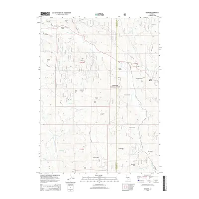 2015 Dinsmore2015 Print · USGSThe border of Trinity and Humboldt Counties is captured here in the mid-2010s, centered on the Van Duzen River valley. Genealogists and local historians can trace the remote settlements of Dinsmore and Mad River, along with landmarks like Dinsmore Airport and Scott Glades.
 - 2018 Map of Dinsmore, 2018 Print
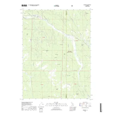 2018 Dinsmore2018 Print · USGSDinsmore and the surrounding Humboldt and Trinity County borderlands appear here in the late twenty-teens. Researchers can trace the drainage of the Van Duzen River and locate mountain landmarks like Buck Mountain, Tierney Peak, and the Dinsmore Airport.
 - 2022 Map of Dinsmore, 2022 Print
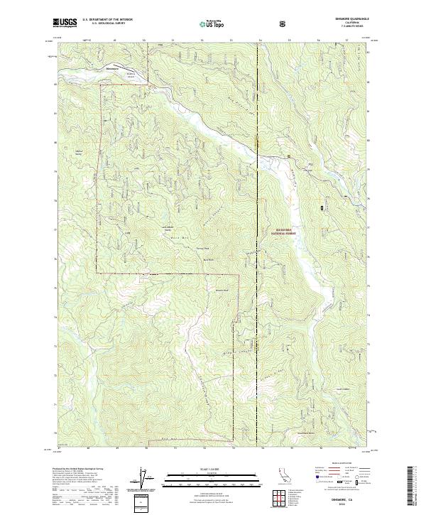 2022 Dinsmore2022 Print · USGSHumboldt County in the early twenty-first century remains a landscape of high ridges and timber lands managed under the Six Rivers National Forest. Genealogists and hikers can trace remote landmarks like Dinsmore, Low Gap, and the high peak of Buck Mountain.
End of results
Showing maps 1-10 of 10
Top cities near Van Duzen
Frequently asked questions
- What are the different types of historical maps available for Van Duzen?
- What is the oldest map of Van Duzen?
- Where can I purchase historical maps of Van Duzen for my home or office?
- Where can I download high-res historical maps of Van Duzen?
- Are there historical topographic maps available for Van Duzen?
- Is there historical aerial imagery available for Van Duzen?
- Where are historical maps of Van Duzen sourced from?