Old Maps of Advance, California for Genealogy
Trace your family roots with 17 historic maps of Advance. These high-res maps reveal old neighborhoods, homesites, landmarks, and streets — helping you uncover where your ancestors lived and how the area evolved over time.
- Explore historic neighborhoods: Identify where your relatives may have lived in the 1800s or 1900s.
- Compare maps over time: Trace the changes in streets, buildings, and landmarks for multi-generational research.
- Perfect for genealogy & ancestry research: Used by family historians and researchers to map out lineage and migration.
These maps are an incredible resource for exploring your personal connection to Advance's past.
Advance, CA maps
(17)- 1903 Map of Tehipite, 1953 Print
 1903 Tehipite1953 Print · USGSThe High Sierra backcountry in the early twentieth century shows a landscape of early timber works and newly formed preserves. Trace family roots and old park outposts near Hume, Kanawyers, and the historic Abbott Mill.
 - 1905 Map of Tehipite
 1905 Tehipite1905 Print · USGSThe High Sierra at the start of the twentieth century shows a landscape where early tourism and timber industry met. Researchers can trace the original footprint of General Grant National Park and find old lumber sites like Millwood and Harts Sawmill.8 unique versions available
 - 1948 Map of Fresno
 1948 Fresno1948 Print · USGSThe San Joaquin Valley and the High Sierra met during a period of rapid post-war growth and industrial expansion. Genealogists and researchers can trace family lines through small rail towns like Calwa City, find early aviation sites at Fresno-Chandler, or locate the Fresno Copper Mine.
 - 1955 Map of Fresno
 1955 Fresno1955 Print · USGSThe Central Valley and High Sierra meet in this mid-fifties study of California’s agricultural and wilderness heart. Researchers can trace the rail-side growth of Sanger, Selma, and Reedley or locate high-altitude landmarks like Mt Whitney and Hume Lake.
 - 1956 Map of Fresno
 1956 Fresno1956 Print · USGSThe Central Valley and High Sierra meet in this mid-fifties survey of a rapidly developing California interior. Researchers can trace the rail-and-water networks of Visalia, the footprint of Tulare Lake, and the remote heights of Sequoia National Park.
 - 1956 Map of Giant Forest, 1958 Print
 1956 Giant Forest1958 Print · USGSThe High Sierra groves were transitioning into a major recreational destination in the late 1950s. Genealogists and historians can trace the early park infrastructure at Colony Mill Ranger Station, find the small community of Wilsonia, and locate the iconic General Sherman Tree.4 unique versions available
 - 1958 Map of Fresno
 1958 Fresno1958 Print · USGSThe Central Valley and High Sierra meet in this mid-century survey of the California heartland. Researchers can trace the rail-and-road network connecting Fresno and Visalia or locate high-country landmarks like Mt Whitney and Sequoia National Park.
 - 1960 Map of Fresno
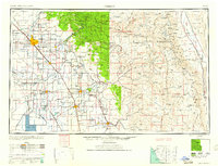 1960 Fresno1960 Print · USGSThe San Joaquin Valley's mid-century agricultural boom meets the high peaks of the Sierra Nevada in this detailed survey. Genealogists and historians can trace the rail-driven growth of Fresno, Tulare, and Visalia or locate family roots in smaller towns like Raisin City and Calwa City.2 unique versions available
 - 1962 Map of Fresno, 1968 Print
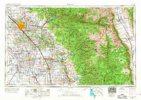 1962 Fresno1968 Print · USGSThe Central Valley and High Sierra meet in this mid-century survey, capturing the region's massive irrigation systems and mountain wilderness. Researchers can trace the rail corridors of the Southern Pacific and locate landmarks like the Tulare Lake Bed and Mount Whitney.3 unique versions available
 - 1966 Map of Fresno
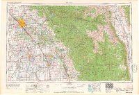 1966 Fresno1966 Print · USGSCentral California in the mid-1960s showcases a high-production agricultural valley rising into the granite peaks of the High Sierra. Researchers can trace irrigation networks, rail spurs like the Southern Pacific, and landmarks from Mount Whitney to the Lemoore Naval Air Station.
 - 1978 Map of Mount Whitney, 1992 Print
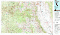 1978 Mount Whitney1992 Print · USGSThe high Sierra and Owens Valley meet in the late 1970s, showcasing the transition from alpine wilderness to valley floor settlements. Trace historical mining operations like the Green Monster Mine or find early routes to the summit near Whitney Portal.
 - 1987 Map of Shadequarter Mtn
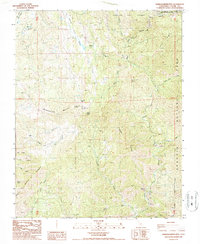 1987 Shadequarter Mtn1987 Print · USGSTulare County's high Sierra foothills are mapped here in the late eighties, showing the meeting of major national parks and forests. Researchers can trace remote history through the Advance Ruins, the Shadequarter Lookout, and old 4WD tracks.
 - 1993 Map of Shadequarter Mtn, 1995 Print
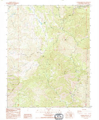 1993 Shadequarter Mtn1995 Print · USGSThe Tulare County high country comes into focus in the early 1990s as the Sierra wilderness meets the edges of national park boundaries. Researchers can locate the Shadequarter Lookout, trace the Advance Ruins near the river, and explore the drainage of Eshom Creek.
 - 2012 Map of Shadequarter Mountain, 2012 Print
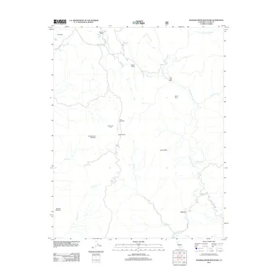 2012 Shadequarter Mountain2012 Print · USGSCovers Advance, including Three Rivers, Tulare County, and other nearby areas
 - 2015 Map of Shadequarter Mountain, 2015 Print
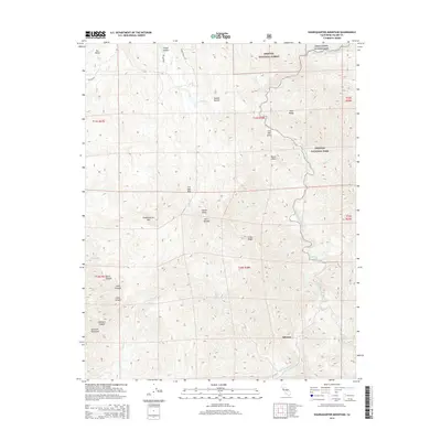 2015 Shadequarter Mountain2015 Print · USGSCovers Advance, including Three Rivers, Tulare County, and other nearby areas
 - 2018 Map of Shadequarter Mountain, 2018 Print
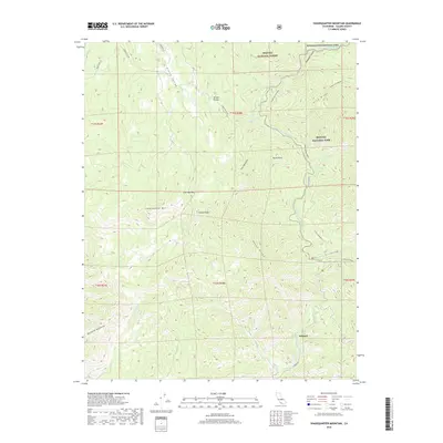 2018 Shadequarter Mountain2018 Print · USGSCovers Advance, including Three Rivers, Tulare County, and other nearby areas
 - 2021 Map of Shadequarter Mountain, 2021 Print
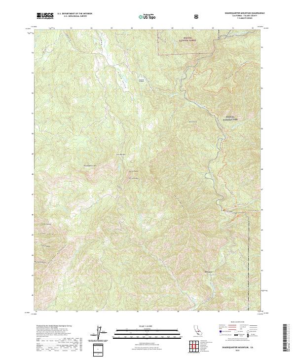 2021 Shadequarter Mountain2021 Print · USGSTulare County's steep Sierra foothills are documented here in the modern era, where national forest and park boundaries meet. Genealogists and hikers can trace historic routes like Stagecoach Drive and Colony Mill Road Trail near Advance.
End of results
Showing maps 1-17 of 17
Top cities near Advance
Frequently asked questions
- What are the different types of historical maps available for Advance?
- What is the oldest map of Advance?
- Where can I purchase historical maps of Advance for my home or office?
- Where can I download high-res historical maps of Advance?
- Are there historical topographic maps available for Advance?
- Is there historical aerial imagery available for Advance?
- Where are historical maps of Advance sourced from?