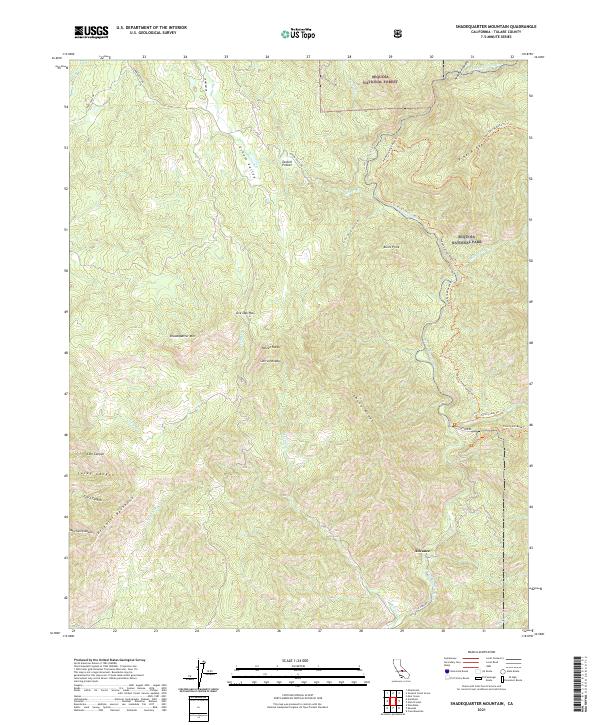
2021 Map of Shadequarter Mountain
USGS Topo · Published 2021About this map
Eshom Valley and the high ridges of the Sierra Nevada define this landscape on the western edge of Sequoia National Park. The terrain is marked by dramatic elevation changes, rising from the canyons of the North Fork Kaweah River to the prominent peak of Shadequarter Mountain. Local navigation relies on a network of historic tracks and trails, including the Colony Mill Road Trail and Redwood Canyon, which suggest the area's long-standing connection to early timber and transit routes.
Find a feature on this map
42 named features on this map. Tap any name to fly to it.
Don’t see what you’re looking for? This feature index may not catch every label — zoom into the map to look around manually.
Map Details
Editions of this 2021 Shadequarter Mountain Map
This is the sole edition of this map. No revisions or reprints were ever made.
Other maps of this area

1903 · Tehipite
USGS Topo · 1:125,000

1904 · Kaweah
USGS Topo · 1:125,000

1905 · Tehipite
USGS Topo · 1:125,000

1909 · Kaweah
USGS Topo · 1:125,000

1922 · Trimmer
USGS Topo · 1:96,000

1924 · Dinuba
USGS Topo · 1:125,000

1928 · Lemon Cove
USGS Topo · 1:31,680

1937 · Kaweah
USGS Topo · 1:125,000

1942 · Dunlap
USGS Topo · 1:62,500

1944 · Dunlap
USGS Topo · 1:62,500