2000s (21st Century) Maps of Three Rivers, California
Explore 17 historic maps of Three Rivers from the 2000s (21st Century). These maps offer a rare glimpse into what life looked like during the 2000s — showing old roads, neighborhoods, homes, and landmarks that have changed or disappeared over time.
Whether you're researching your family's past, planning a metal detecting trip, or studying how Three Rivers's landscape evolved across the 2000s, these high-resolution maps are a powerful tool for exploring the history of this region.
- Focus on a specific era: All maps on this page are from the 2000s, giving you a focused view of this time period.
- See what’s changed: Compare century-old streets, trails, and buildings to today's modern landscape using overlays and satellite layers.
- Research with precision: Use these maps for genealogy, historical research, land use analysis, or educational projects.
- View, download, or print: Maps are fully viewable online in high resolution, and can be downloaded or printed for your own records.
Start exploring Three Rivers's history through authentic maps from the 2000s. This is your window into the past.
Three Rivers, CA maps
(17)- 2012 Map of Case Mountain, 2012 Print
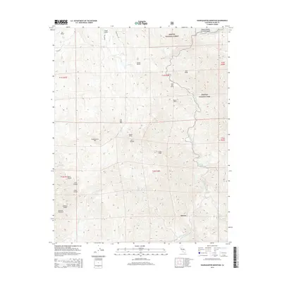
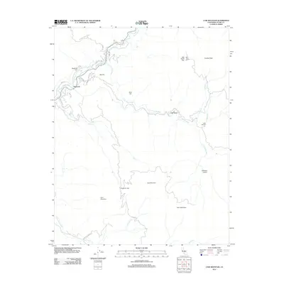 2012 Case Mountain2012 Print · USGSCovers Three Rivers, including Oak Grove, Hammond, and other nearby areas
 - 2012 Map of Kaweah, 2012 Print
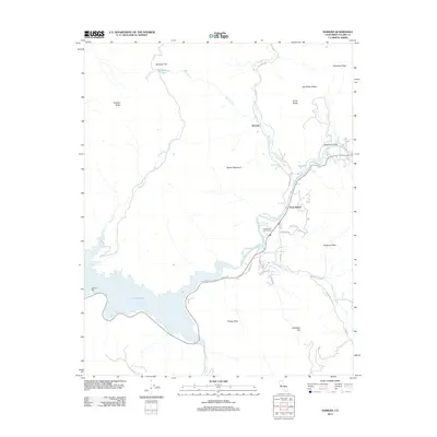 2012 Kaweah2012 Print · USGSCovers Three Rivers, including Kaweah, Tulare County, and other nearby areas
 - 2012 Map of Shadequarter Mountain, 2012 Print
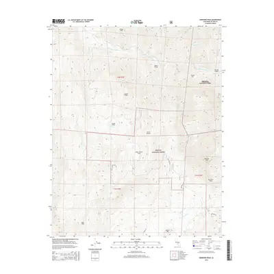
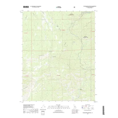
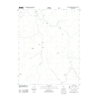 2012 Shadequarter Mountain2012 Print · USGSCovers Three Rivers, including Advance, Tulare County, and other nearby areas
 - 2012 Map of Dennison Peak, 2012 Print
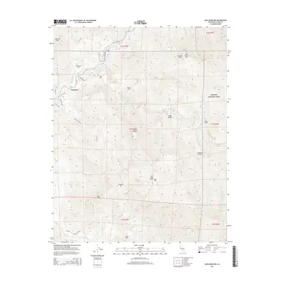
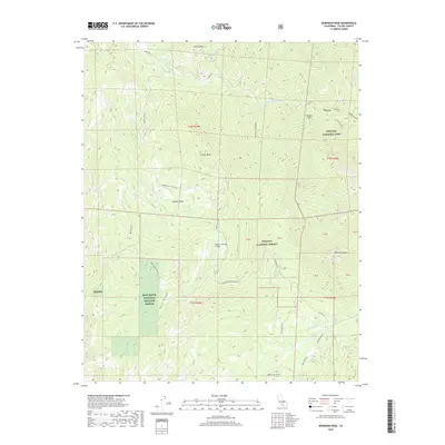
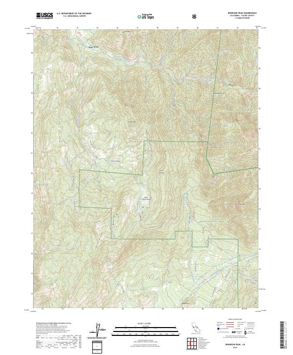
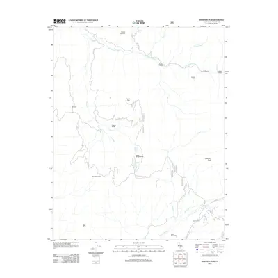 2012 Dennison Peak2012 Print · USGSCovers Three Rivers, including Tulare County, United States, and other nearby areas
 - 2015 Map of Kaweah, 2015 Print
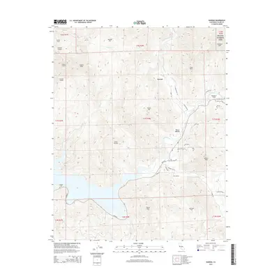 2015 Kaweah2015 Print · USGSCovers Three Rivers, including Kaweah, Tulare County, and other nearby areas
 - 2015 Map of Dennison Peak, 2015 Print
 2015 Dennison Peak2015 Print · USGSCovers Three Rivers, including Tulare County, United States, and other nearby areas
 - 2015 Map of Case Mountain, 2015 Print
 2015 Case Mountain2015 Print · USGSCovers Three Rivers, including Oak Grove, Hammond, and other nearby areas
 - 2015 Map of Shadequarter Mountain, 2015 Print
 2015 Shadequarter Mountain2015 Print · USGSCovers Three Rivers, including Advance, Tulare County, and other nearby areas
 - 2018 Map of Dennison Peak, 2018 Print
 2018 Dennison Peak2018 Print · USGSCovers Three Rivers, including Tulare County, United States, and other nearby areas
 - 2018 Map of Shadequarter Mountain, 2018 Print
 2018 Shadequarter Mountain2018 Print · USGSCovers Three Rivers, including Advance, Tulare County, and other nearby areas
 - 2018 Map of Case Mountain, 2018 Print
 2018 Case Mountain2018 Print · USGSCovers Three Rivers, including Oak Grove, Hammond, and other nearby areas
 - 2018 Map of Kaweah, 2018 Print
 2018 Kaweah2018 Print · USGSCovers Three Rivers, including Kaweah, Tulare County, and other nearby areas
 - 2021 Map of Shadequarter Mountain, 2021 Print
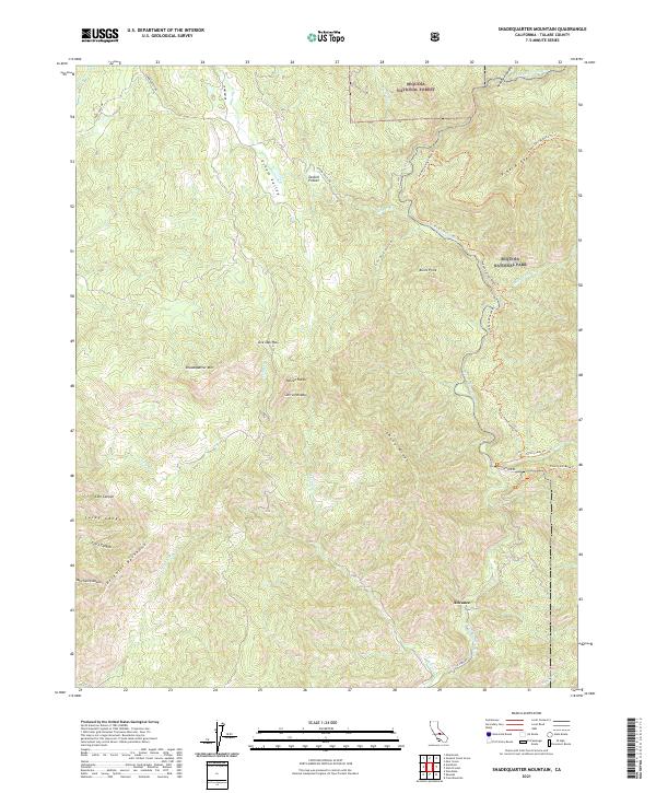 2021 Shadequarter Mountain2021 Print · USGSTulare County's steep Sierra foothills are documented here in the modern era, where national forest and park boundaries meet. Genealogists and hikers can trace historic routes like Stagecoach Drive and Colony Mill Road Trail near Advance.
 - 2021 Map of Case Mountain, 2021 Print
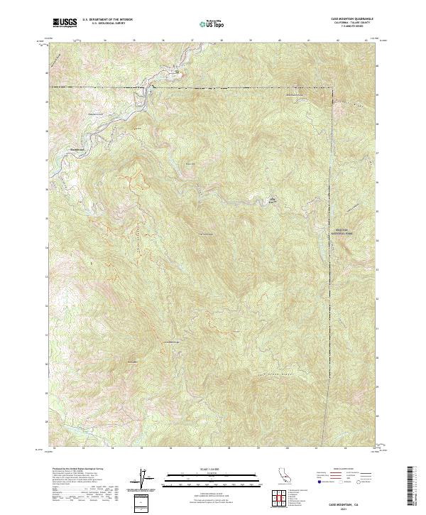 2021 Case Mountain2021 Print · USGSThe foothills of the Sierra Nevada come alive in this 2021 study of the river forks and mountain passes near the edge of the national park. Genealogists and hikers can trace the winding paths of Mineral King Rd and locate the small communities at Hammond and Oak Grove.
 - 2021 Map of Kaweah, 2021 Print
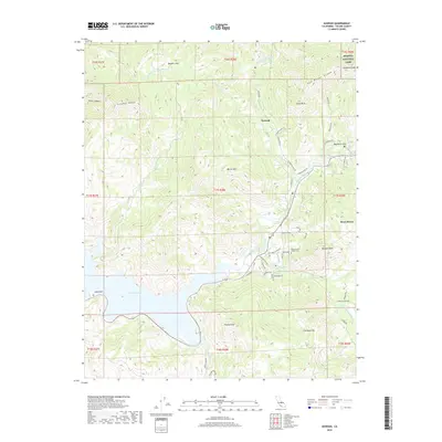
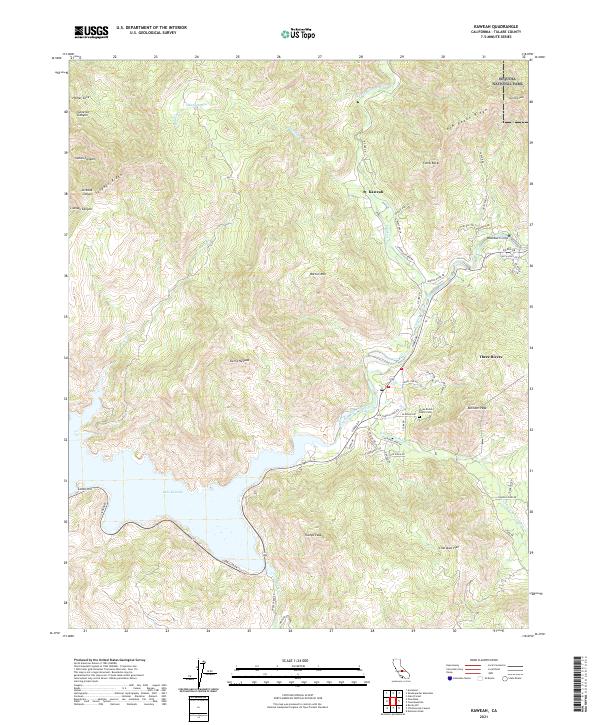 2021 Kaweah2021 Print · USGSTulare County near the entrance to the high Sierra is shown here in the early 2020s as modern development meets the edge of the wilderness. Trace local genealogy at the Three Rivers Public Cem and explore the shoreline of Lake Kaweah near Three Rivers.
 - 2021 Map of Dennison Peak, 2021 Print
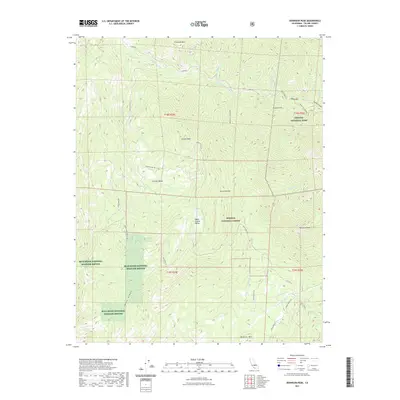 2021 Dennison Peak2021 Print · USGSCovers Three Rivers, including Tulare County, United States, and other nearby areas
 - 2023 Map of Dennison Peak, 2023 Print
 2023 Dennison Peak2023 Print · USGSThe high Sierra Nevada mountains meet protected wilderness in the early 2020s. Researchers can trace land boundaries across the Sequoia National Park and find peaks like Dennison Peak or the remote Grouse Valley.
End of results
Showing maps 1-17 of 17
Top cities near Three Rivers
Top neighborhoods of Three Rivers
Frequently asked questions
- What are the different types of historical maps available for Three Rivers?
- What is the oldest map of Three Rivers?
- Where can I purchase historical maps of Three Rivers for my home or office?
- Where can I download high-res historical maps of Three Rivers?
- Are there historical topographic maps available for Three Rivers?
- Is there historical aerial imagery available for Three Rivers?
- Where are historical maps of Three Rivers sourced from?