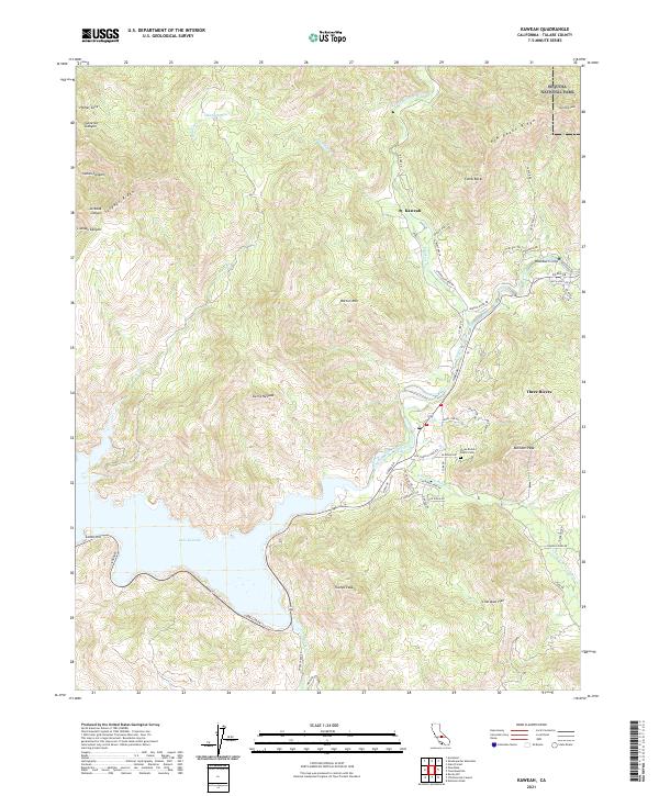
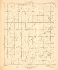
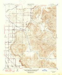
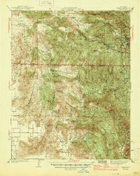
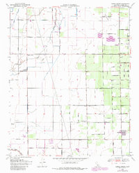
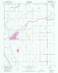
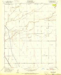
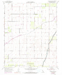
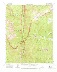
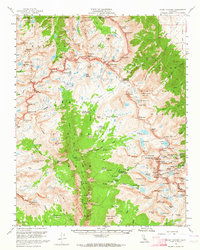
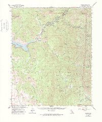
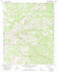
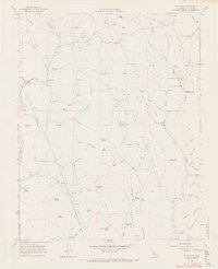
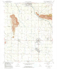
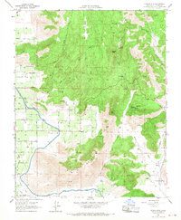
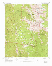
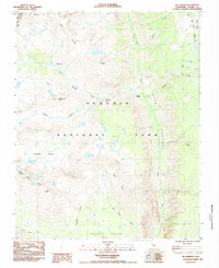
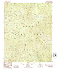
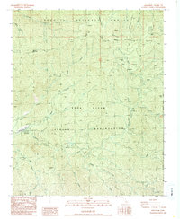
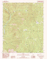
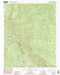
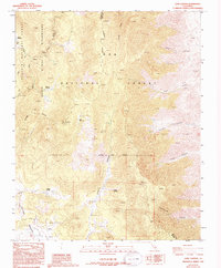
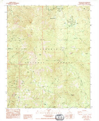
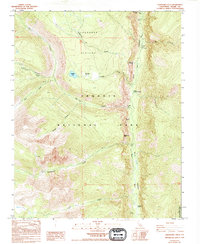
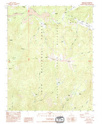
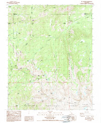
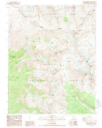
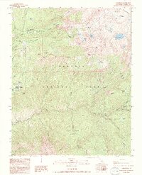
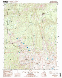
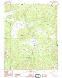
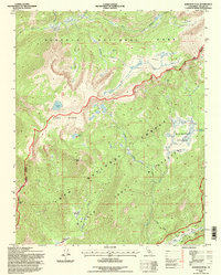
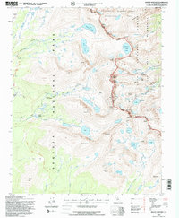
2021 Map of Kaweah
USGS Topo · Published 2021This historical map portrays the area of Kaweah in 2021, primarily covering Tulare County. Featuring a scale of 1:24000, this map provides a highly detailed snapshot of the terrain, roads, buildings, counties, and historical landmarks in the Kaweah region at the time. Published in 2021, it is the sole known edition of this map.
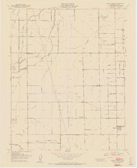
Map Details
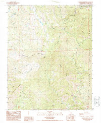
Editions of this 2021 Kaweah Map
This is the sole edition of this map. No revisions or reprints were ever made.
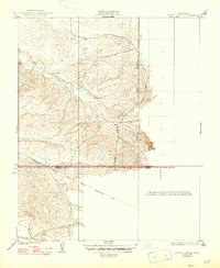
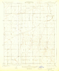
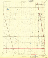
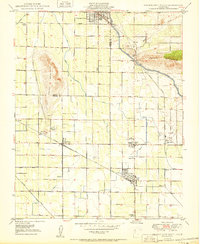
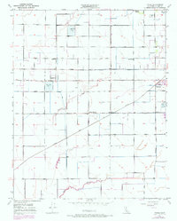
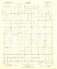
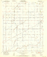
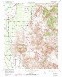
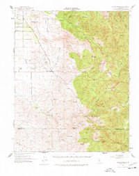
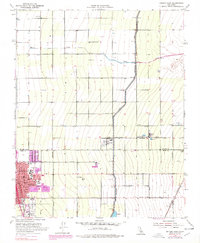
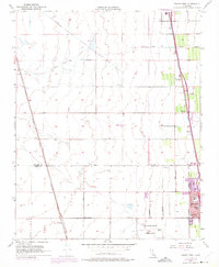
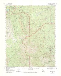
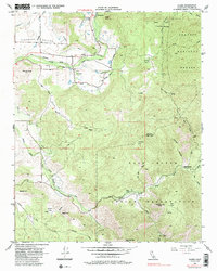
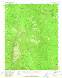
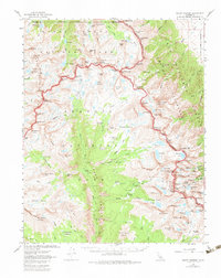
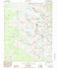
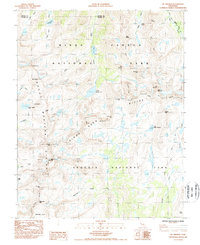
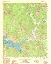
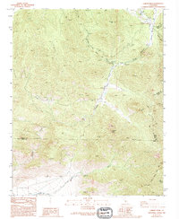
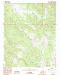
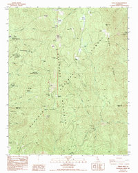
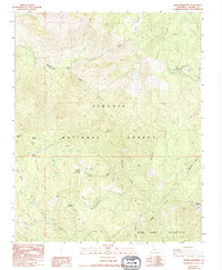
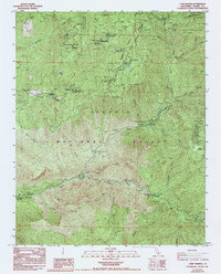
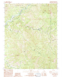
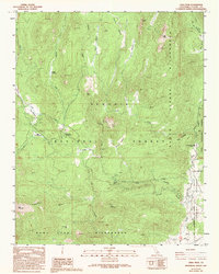
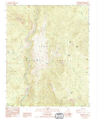
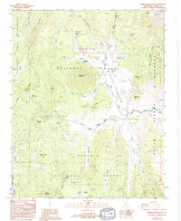
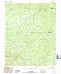
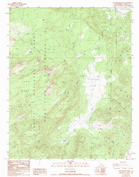
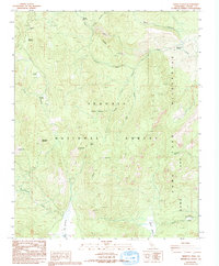
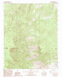
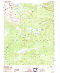
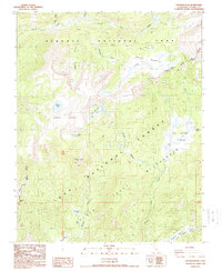
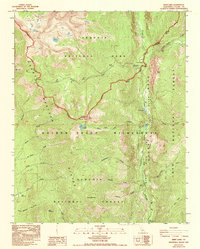
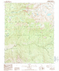
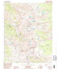
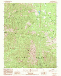
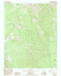
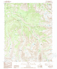
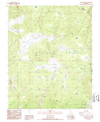
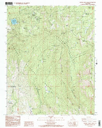
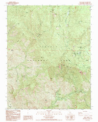
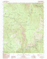
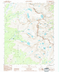
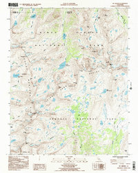
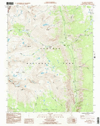
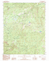
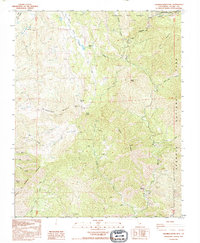
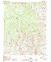
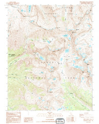
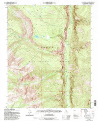
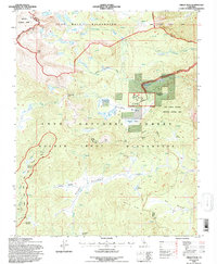
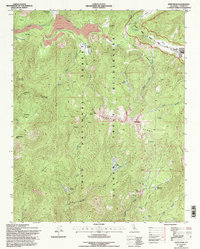
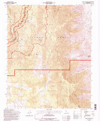
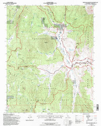
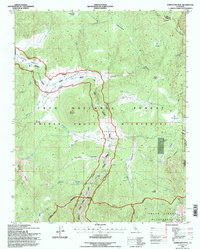
Historical Maps of Three Rivers Through Time
178 maps found

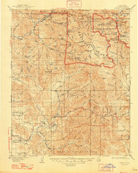
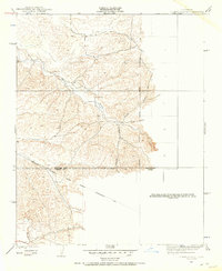
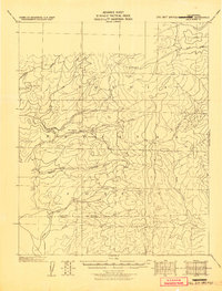
1904 Kaweah
Tulare County, CA

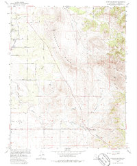
1905 Fairview
Tulare County, CA
1909 Kaweah
Tulare County, CA
1918 Fairview
Tulare County, CA

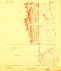
1921 Stokes Mountain
Tulare County, CA
1924 Stokes Mountain
Tulare County, CA

1925 Rocky Hill
Tulare County, CA
1926 Quincy School
Tulare County, CA
1927 Cairns Corner
Tulare County, CA
1927 Lake View School
Tulare County, CA
1927 Paige
Tulare County, CA
1927 Rocky Hill
Tulare County, CA
1929 Quincy School
Tulare County, CA
1929 Sausalito School
Tulare County, CA
1929 Stone
Tulare County, CA
1936 White River
Tulare County, CA

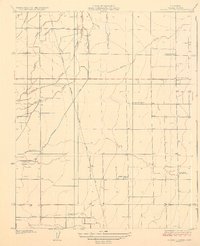
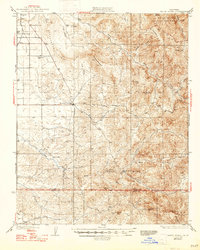
1937 Kaweah
Tulare County, CA
1942 Dunlap
Tulare County, CA
1944 Dunlap
Tulare County, CA
1945 Tobias Peak
Tulare County, CA
1950 Cairns Corner
Tulare County, CA
1950 Orange Cove South
Tulare County, CA
1950 Paige
Tulare County, CA
1950 Sausalito School
Tulare County, CA
1950 Taylor Weir
Tulare County, CA
1951 Cairns Corner
Tulare County, CA
1951 Paige
Tulare County, CA
1951 Rocky Hill
Tulare County, CA
1951 Taylor Weir
Tulare County, CA
1952 White River
Tulare County, CA
1953 Delano East
Tulare County, CA
1954 Delano West
Tulare County, CA
1954 Sausalito School
Tulare County, CA
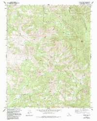
1956 Giant Forest
Tulare County, CA
1956 Globe
Tulare County, CA
1956 Hockett Peak
Tulare County, CA
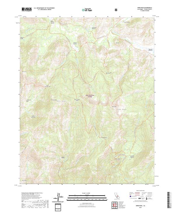
1956 Kern Peak
Tulare County, CA
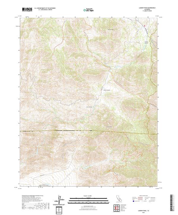
1956 Lamont Peak
Tulare County, CA
1956 Mineral King
Tulare County, CA
1956 Monache Mtn
Tulare County, CA
1956 Mount Whitney
Tulare County, CA
1956 Success Dam
Tulare County, CA
1956 Triple Divide Peak
Tulare County, CA
1957 Frazier Valley
Tulare County, CA
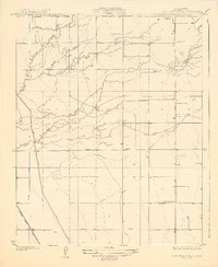
1957 Kaweah
Tulare County, CA
1965 Fountain Springs
Tulare County, CA
1965 Gibbon Peak
Tulare County, CA
1965 Quincy School
Tulare County, CA
1965 White River
Tulare County, CA
1966 Auckland
Tulare County, CA
1966 Orange Cove South
Tulare County, CA
1966 Stokes Mtn.
Tulare County, CA
1967 Mineral King
Tulare County, CA
1967 Mount Whitney
Tulare County, CA
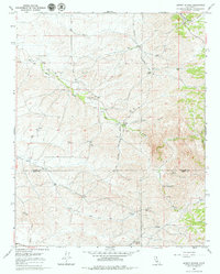
1985 Mount Whitney
Tulare County, CA
1985 Mt. Brewer
Tulare County, CA
1985 Mt. Kaweah
Tulare County, CA
1986 Cannell Peak
Tulare County, CA
1986 Chickencoop Canyon
Tulare County, CA
1986 Dennison Peak
Tulare County, CA
1986 Johnsondale
Tulare County, CA
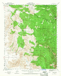
1986 Kaweah
Tulare County, CA
1986 Lamont Peak
Tulare County, CA
1986 Sacatar Canyon
Tulare County, CA
1986 Solo Peak
Tulare County, CA
1986 Tobias Peak
Tulare County, CA
1987 Bonita Meadows
Tulare County, CA
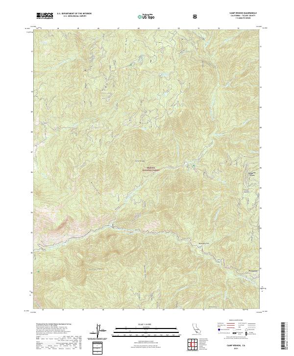
1987 Camp Wishon
Tulare County, CA
1987 Casa Vieja Meadows
Tulare County, CA
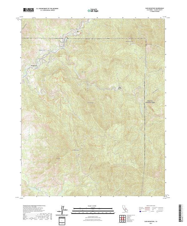
1987 Case Mountain
Tulare County, CA
1987 Crag Peak
Tulare County, CA
1987 Durrwood Creek
Tulare County, CA
1987 Fairview
Tulare County, CA
1987 General Grant Grove
Tulare County, CA
1987 Giant Forest
Tulare County, CA
1987 Hockett Peak
Tulare County, CA
1987 Long Canyon
Tulare County, CA
1987 Monache Mountain
Tulare County, CA
1987 Muir Grove
Tulare County, CA
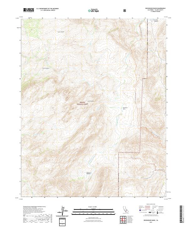
1987 Rockhouse Basin
Tulare County, CA
1987 Sentinel Peak
Tulare County, CA
1987 Shadequarter Mtn
Tulare County, CA
1987 Sirretta Peak
Tulare County, CA
1987 White Dome
Tulare County, CA
1988 Chagoopa Falls
Tulare County, CA
1988 Cirque Peak
Tulare County, CA
1988 Johnson Peak
Tulare County, CA
1988 Kern Lake
Tulare County, CA
1988 Kern Peak
Tulare County, CA
1988 Lodgepole
Tulare County, CA
1988 Mineral King
Tulare County, CA
1988 Moses Mtn
Tulare County, CA
1988 Mt. Silliman
Tulare County, CA
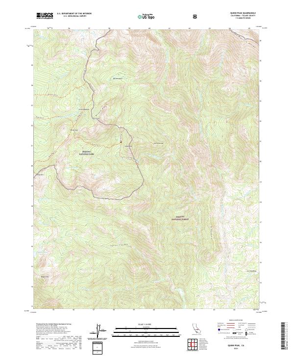
1988 Quinn Peak
Tulare County, CA
1988 Sphinx Lakes
Tulare County, CA
1988 Templeton Mtn
Tulare County, CA
1988 Triple Divide Peak
Tulare County, CA
1993 General Grant Grove
Tulare County, CA
1993 Giant Forest
Tulare County, CA
1993 Hockett Peak
Tulare County, CA
1993 Lodgepole
Tulare County, CA
1993 Mount Whitney
Tulare County, CA
1993 Mt. Brewer
Tulare County, CA
1993 Mt. Kaweah
Tulare County, CA
1993 Mt. Silliman
Tulare County, CA
1993 Muir Grove
Tulare County, CA
1993 Shadequarter Mtn
Tulare County, CA
1993 Sphinx Lakes
Tulare County, CA
1993 Templeton Mtn
Tulare County, CA
1993 Triple Divide Peak
Tulare County, CA
1994 Chagoopa Falls
Tulare County, CA
1994 Cirque Peak
Tulare County, CA
1994 Johnson Peak
Tulare County, CA
1994 Kern Peak
Tulare County, CA
1994 Long Canyon
Tulare County, CA
1994 Monache Mountain
Tulare County, CA
1994 Mount Whitney
Tulare County, CA
1994 Templeton Mtn
Tulare County, CA
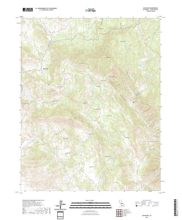
2021 Auckland
Tulare County, CA
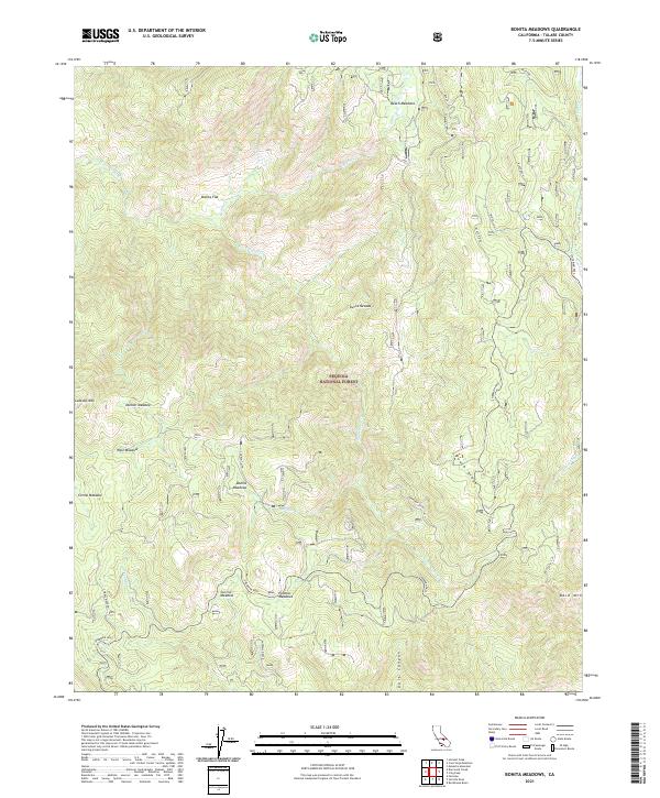
2021 Bonita Meadows
Tulare County, CA

2021 Cairns Corner
Tulare County, CA
2021 Camp Wishon
Tulare County, CA
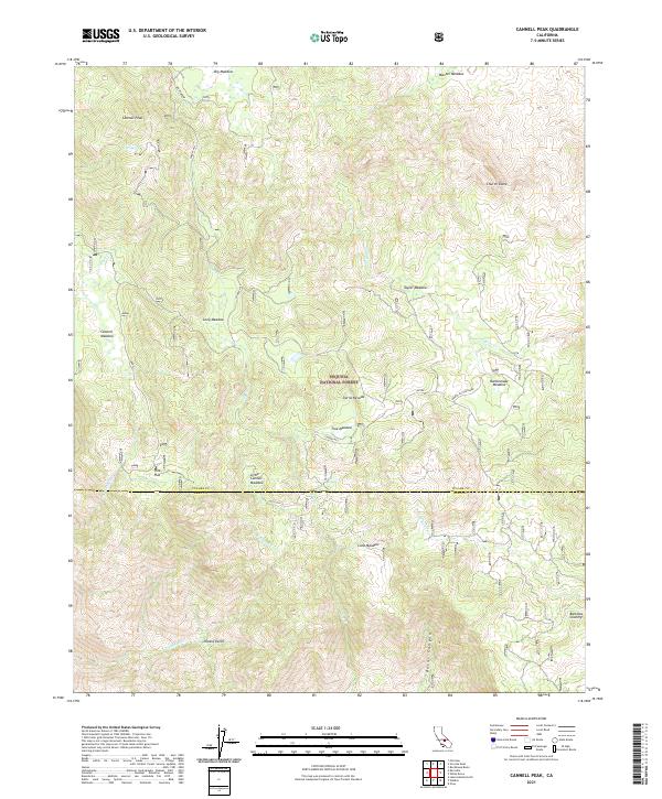
2021 Cannell Peak
Tulare County, CA
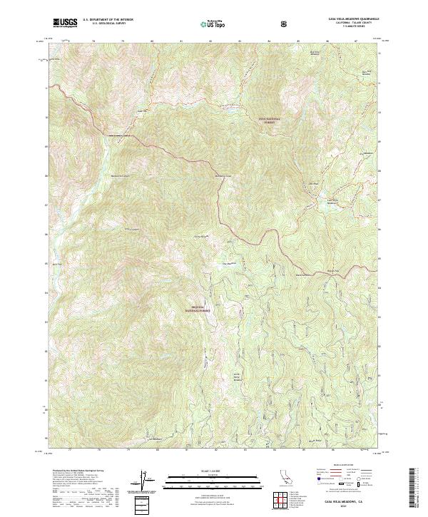
2021 Casa Vieja Meadows
Tulare County, CA
2021 Case Mountain
Tulare County, CA
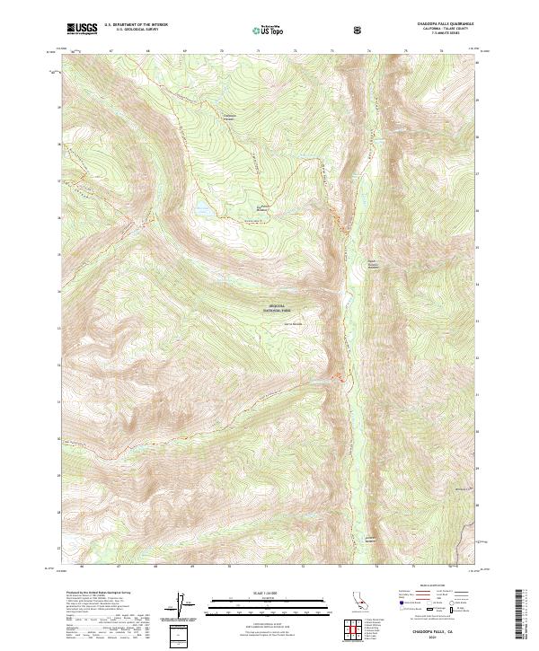
2021 Chagoopa Falls
Tulare County, CA
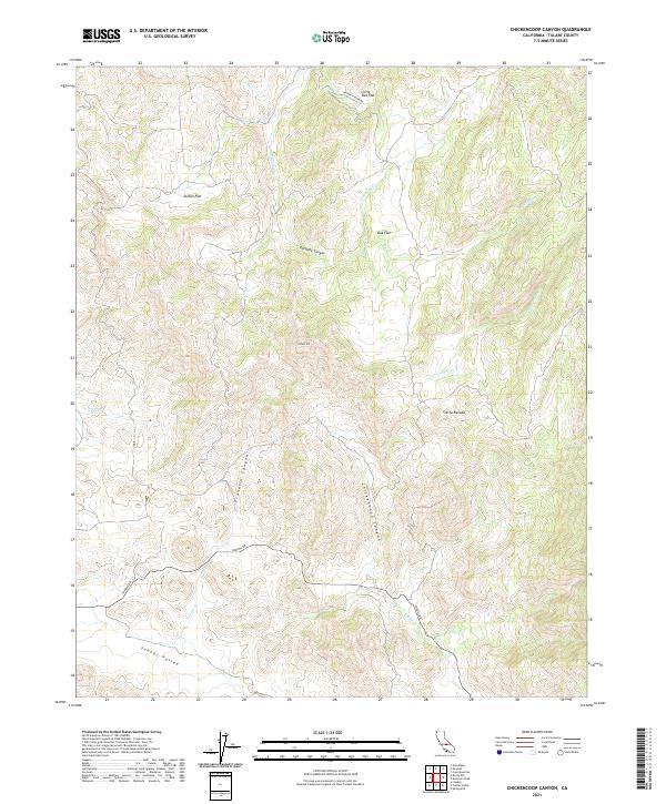
2021 Chickencoop Canyon
Tulare County, CA
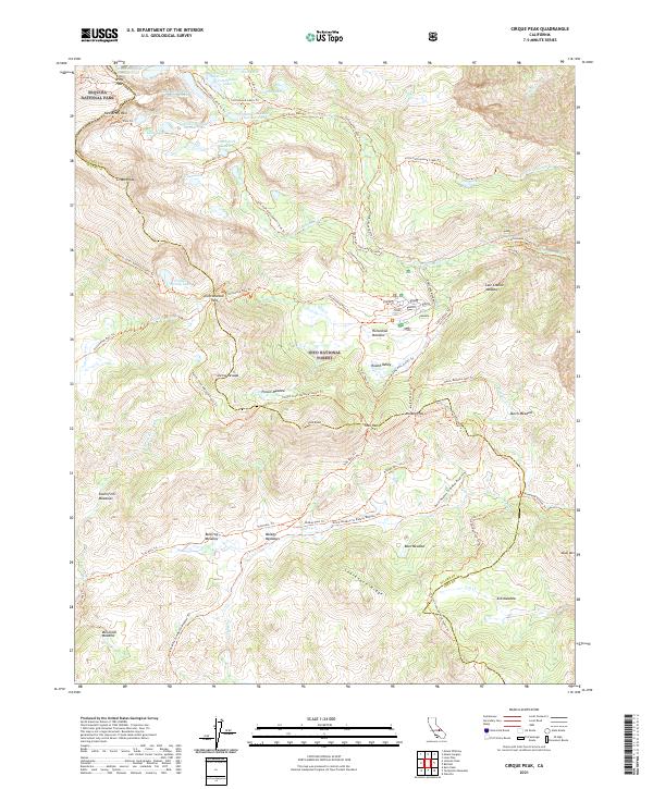
2021 Cirque Peak
Tulare County, CA
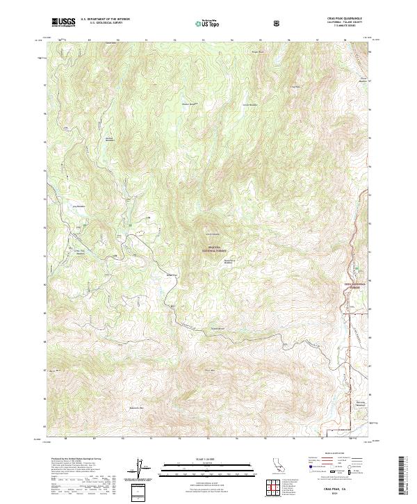
2021 Crag Peak
Tulare County, CA
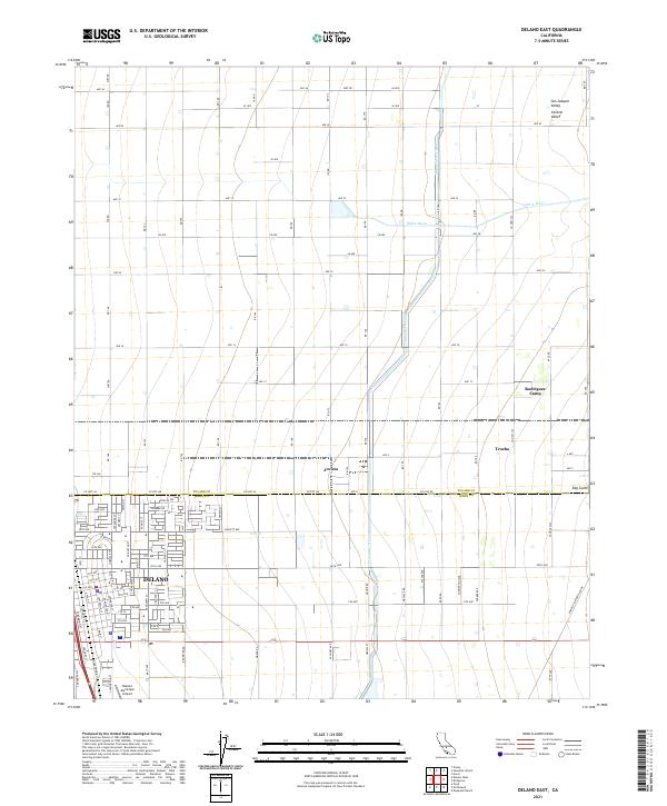
2021 Delano East
Tulare County, CA
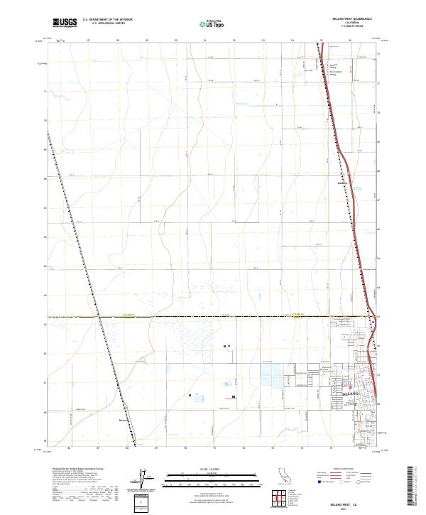
2021 Delano West
Tulare County, CA
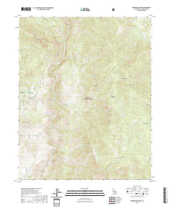
2021 Durrwood Creek
Tulare County, CA
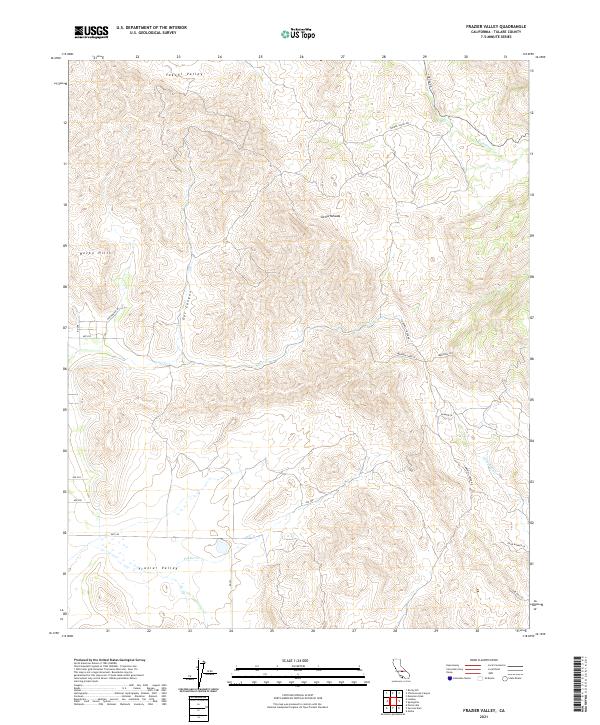
2021 Frazier Valley
Tulare County, CA
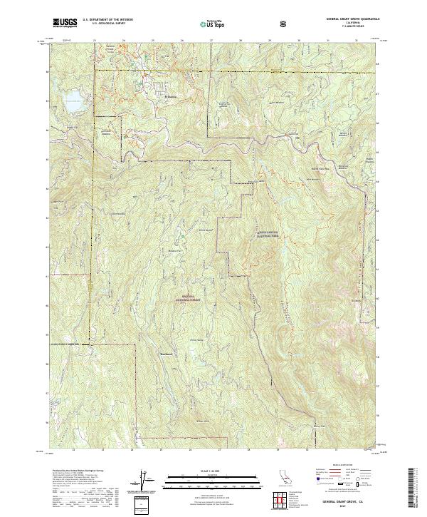
2021 General Grant Grove
Tulare County, CA
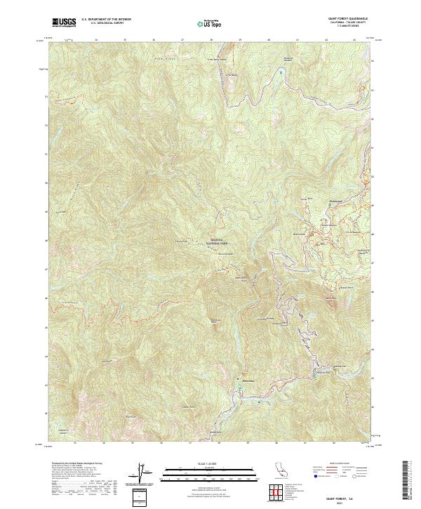
2021 Giant Forest
Tulare County, CA
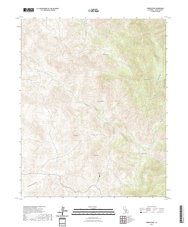
2021 Gibbon Peak
Tulare County, CA
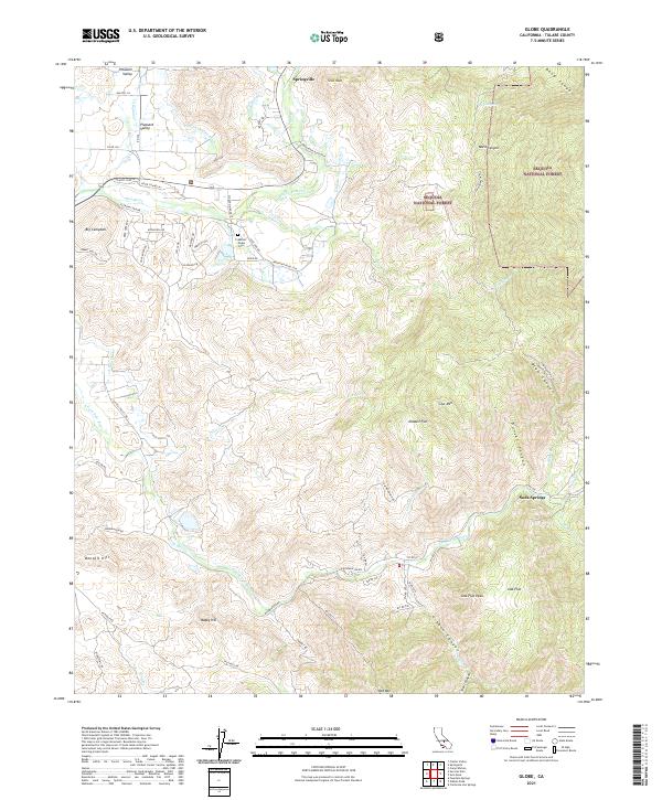
2021 Globe
Tulare County, CA
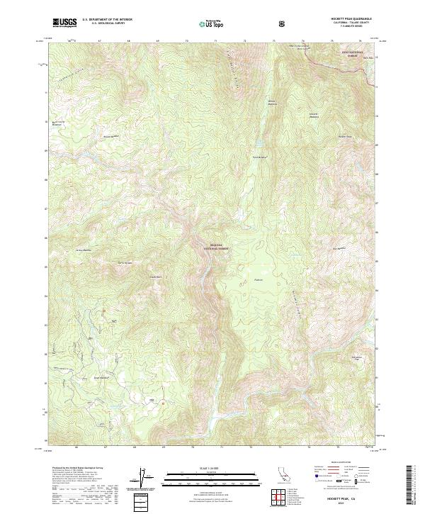
2021 Hockett Peak
Tulare County, CA
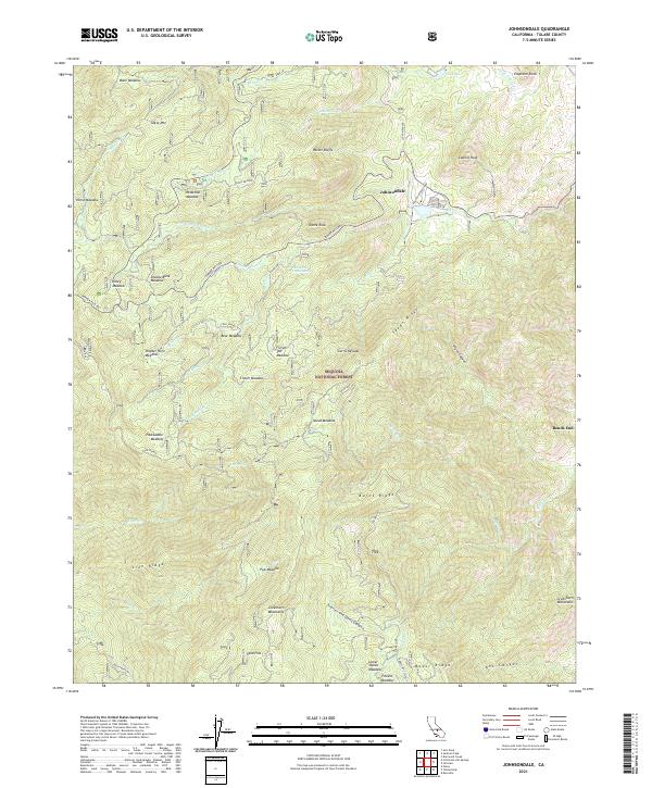
2021 Johnsondale
Tulare County, CA
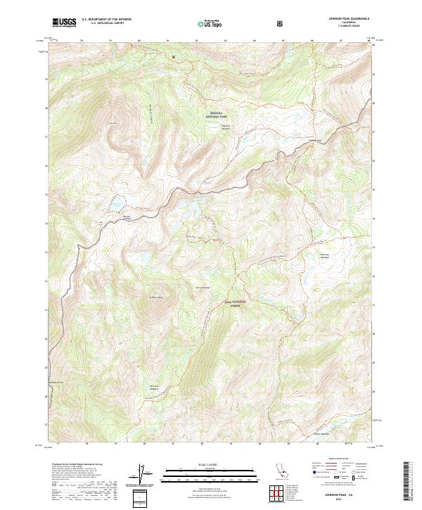
2021 Johnson Peak
Tulare County, CA
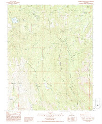
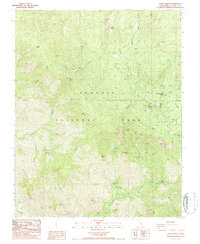
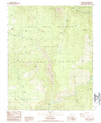
2021 Kaweah
Tulare County, CA
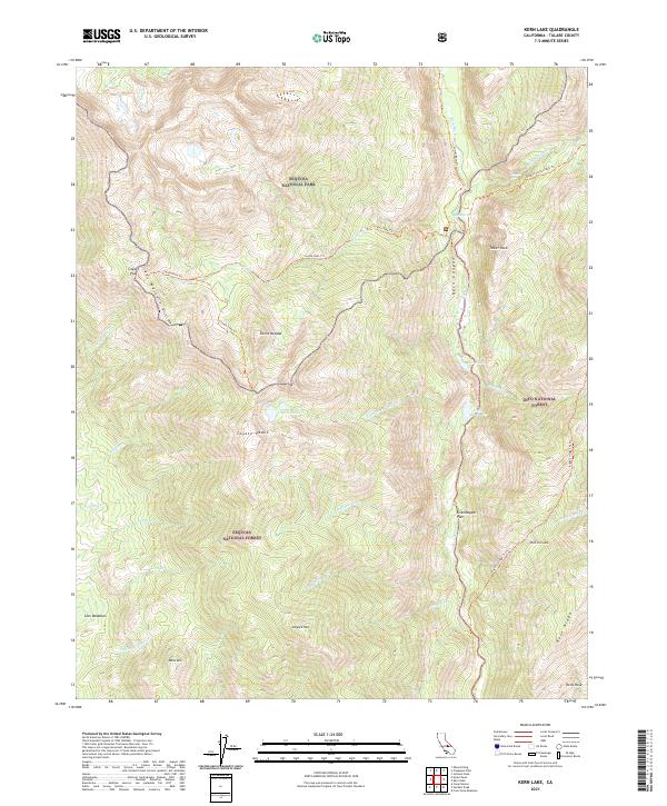
2021 Kern Lake
Tulare County, CA
2021 Kern Peak
Tulare County, CA
2021 Lamont Peak
Tulare County, CA
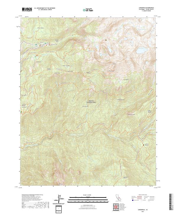
2021 Lodgepole
Tulare County, CA
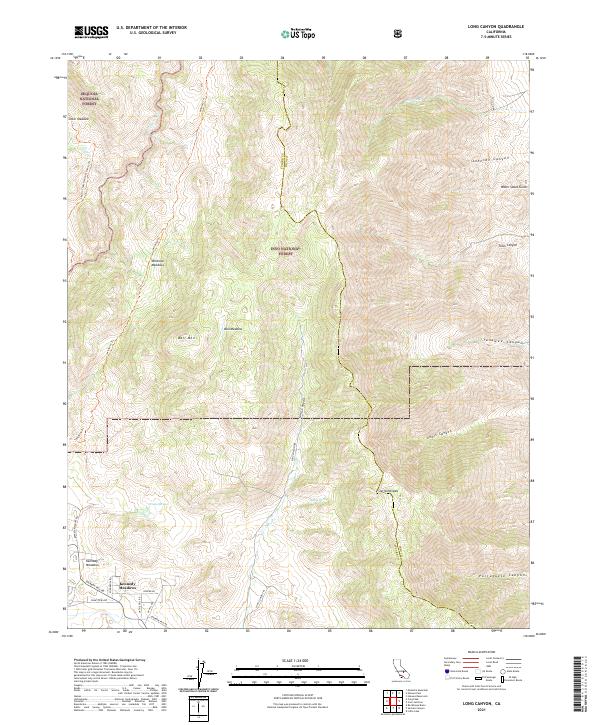
2021 Long Canyon
Tulare County, CA
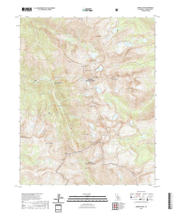
2021 Mineral King
Tulare County, CA
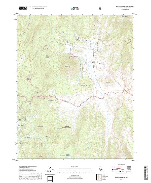
2021 Monache Mountain
Tulare County, CA
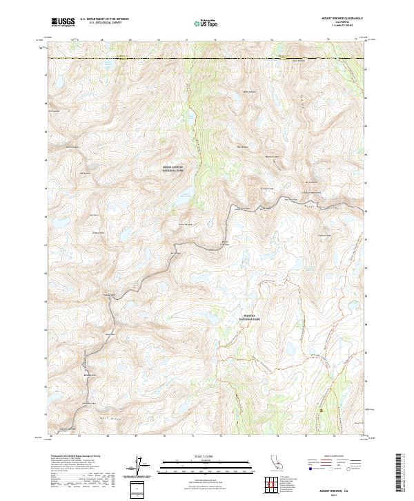
2021 Mount Brewer
Tulare County, CA
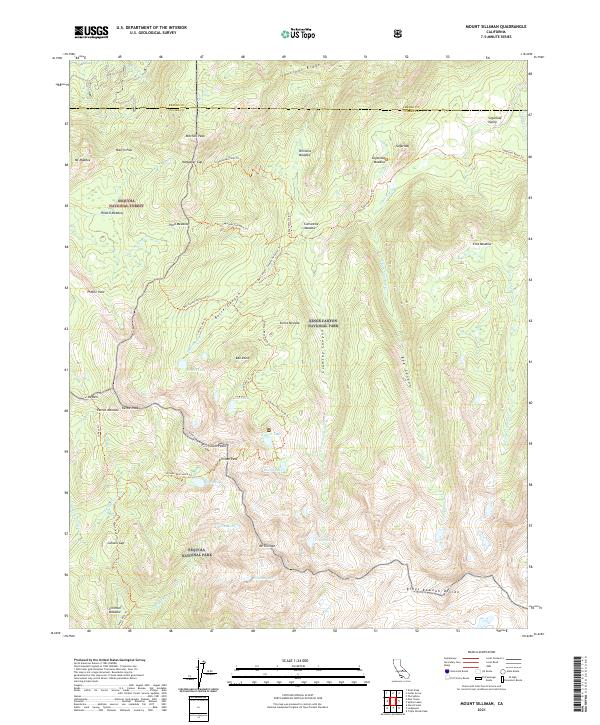
2021 Mount Silliman
Tulare County, CA
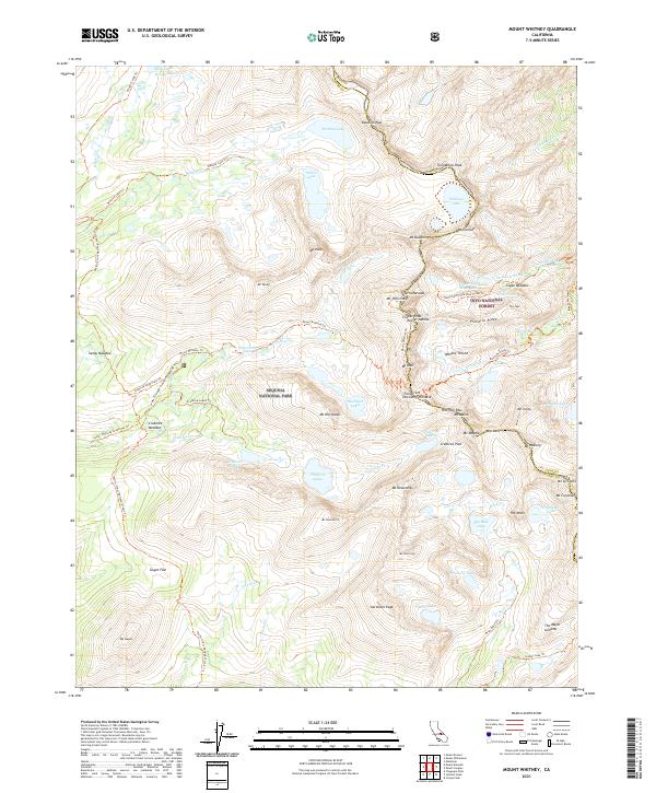
2021 Mount Whitney
Tulare County, CA
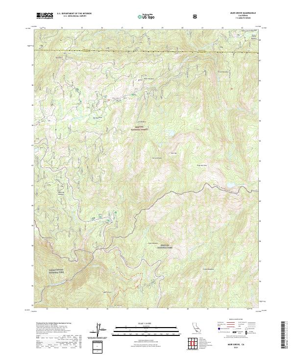
2021 Muir Grove
Tulare County, CA
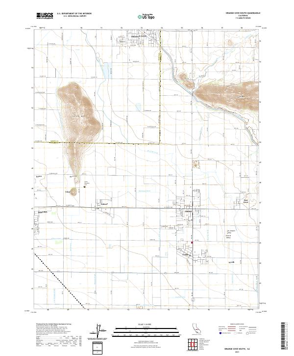
2021 Orange Cove South
Tulare County, CA
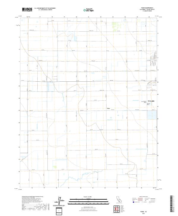
2021 Paige
Tulare County, CA
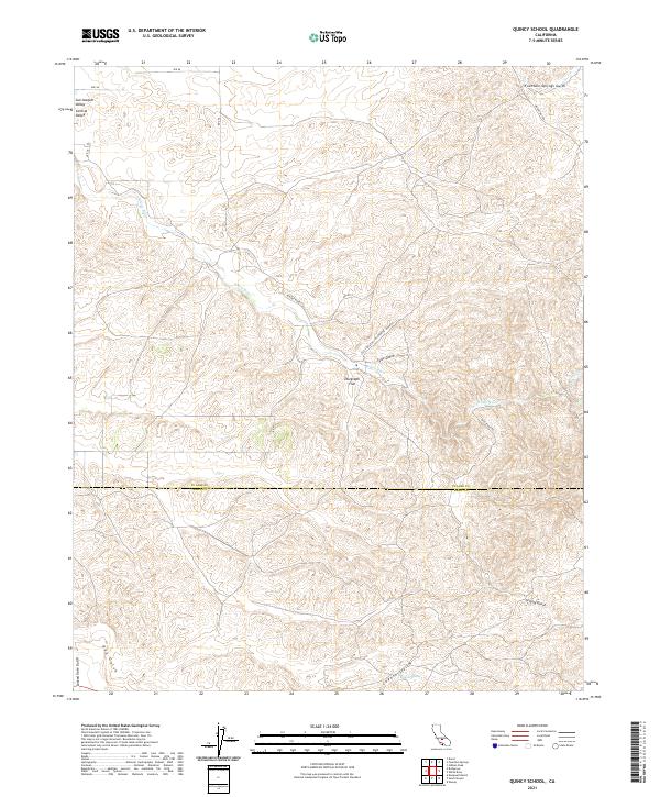
2021 Quincy School
Tulare County, CA
2021 Quinn Peak
Tulare County, CA
2021 Rockhouse Basin
Tulare County, CA
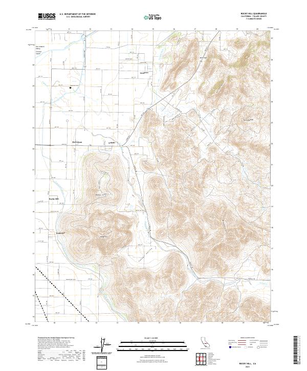
2021 Rocky Hill
Tulare County, CA
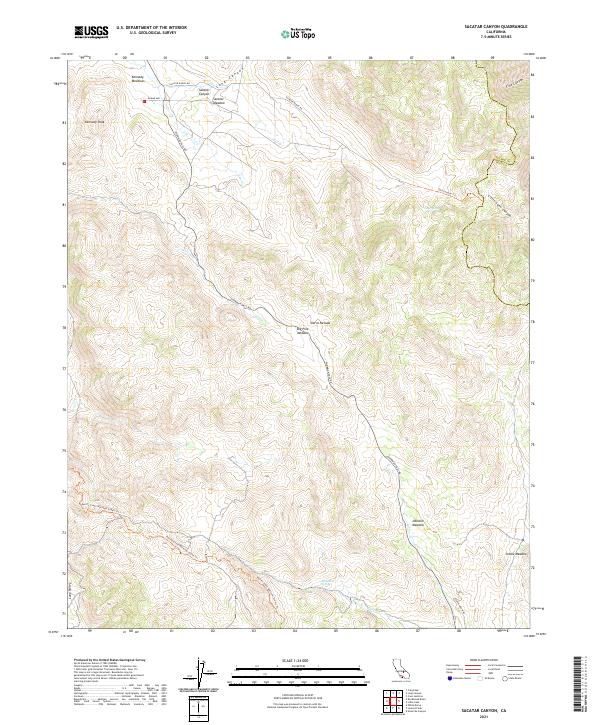
2021 Sacatar Canyon
Tulare County, CA
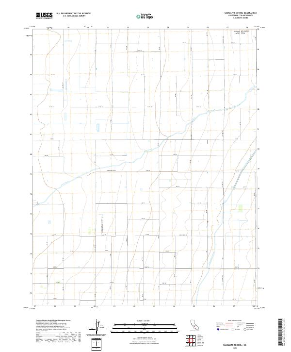
2021 Sausalito School
Tulare County, CA
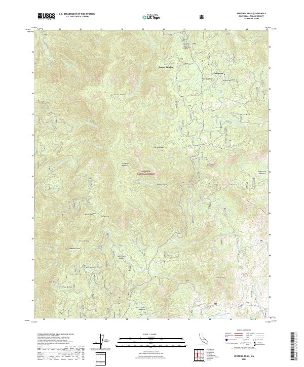
2021 Sentinel Peak
Tulare County, CA
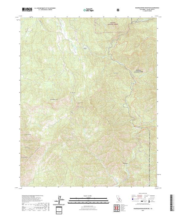
2021 Shadequarter Mountain
Tulare County, CA
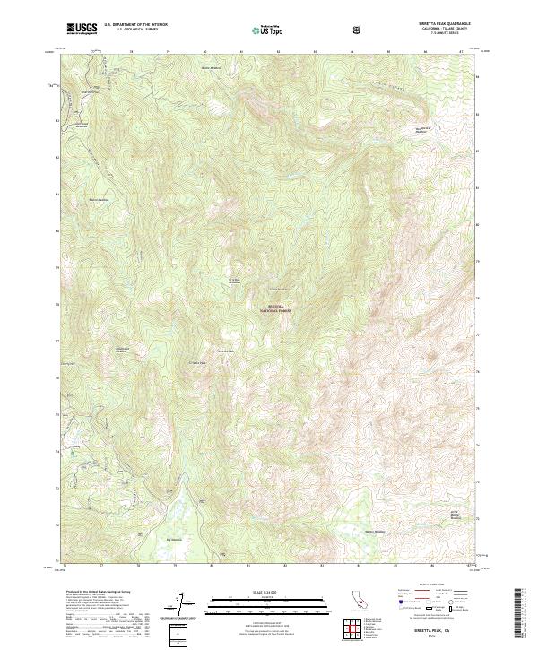
2021 Sirretta Peak
Tulare County, CA
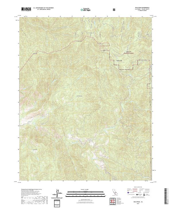
2021 Solo Peak
Tulare County, CA
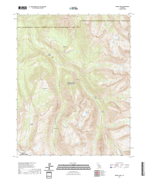
2021 Sphinx Lakes
Tulare County, CA
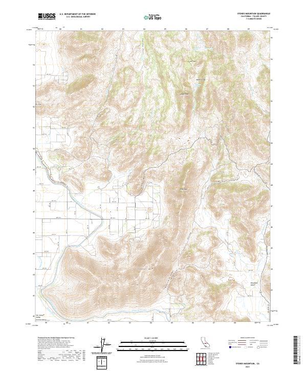
2021 Stokes Mountain
Tulare County, CA
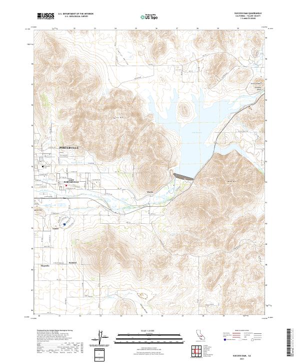
2021 Success Dam
Tulare County, CA
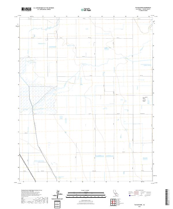
2021 Taylor Weir
Tulare County, CA
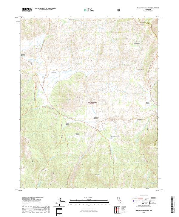
2021 Templeton Mountain
Tulare County, CA
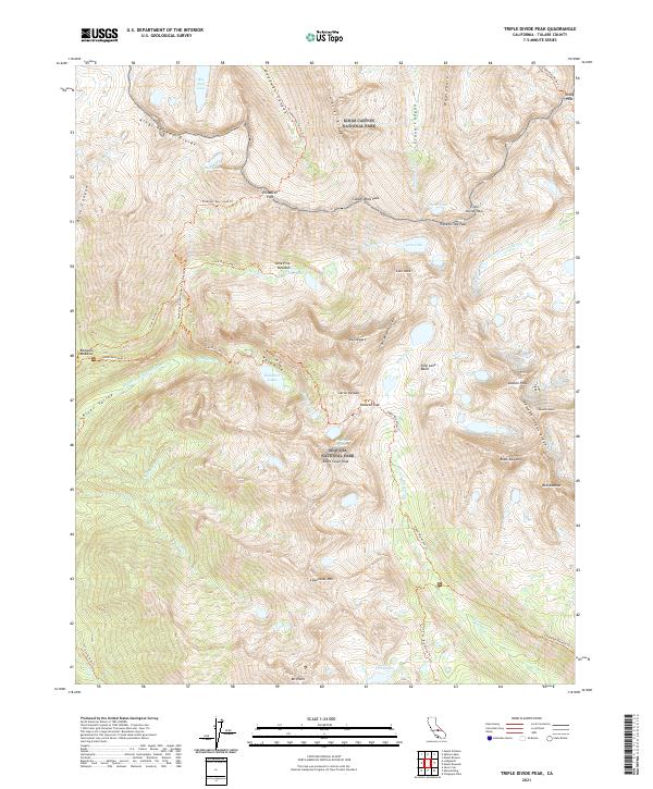
2021 Triple Divide Peak
Tulare County, CA
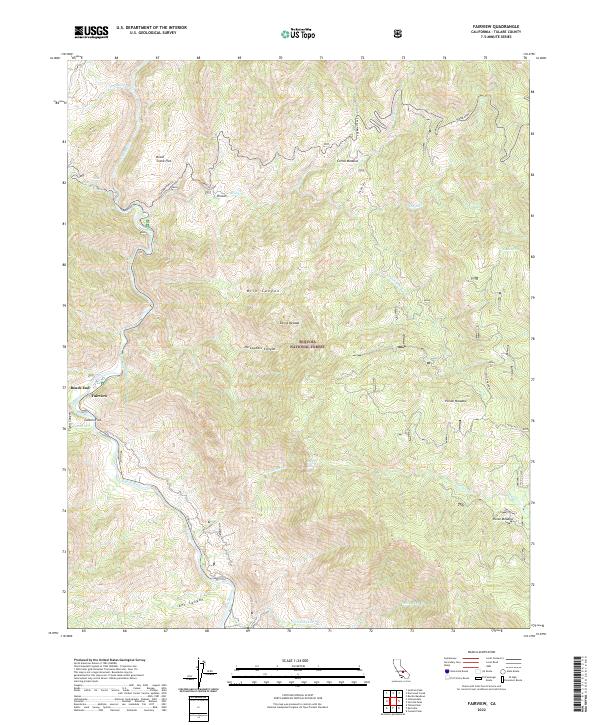
2022 Fairview
Tulare County, CA
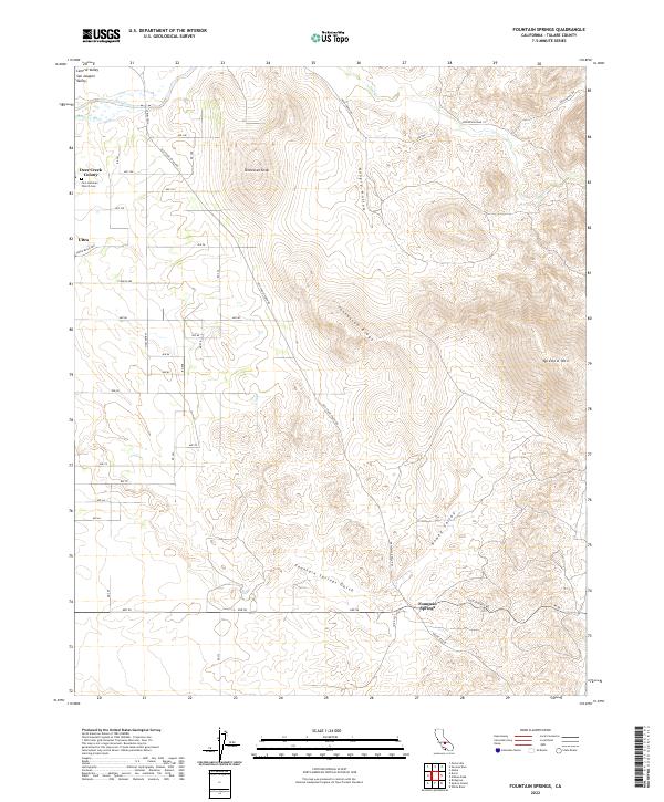
2022 Fountain Springs
Tulare County, CA
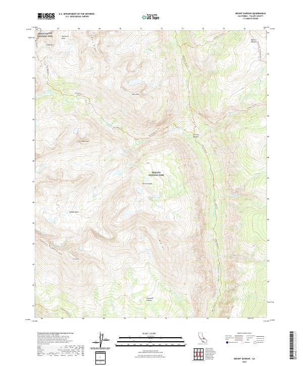
2022 Mount Kaweah
Tulare County, CA
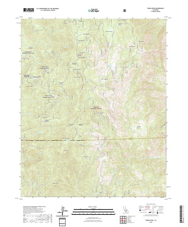
2022 Tobias Peak
Tulare County, CA
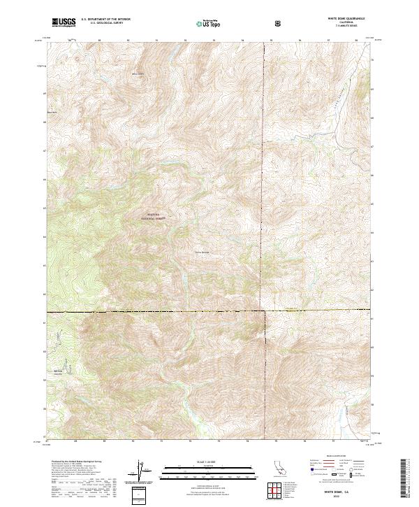
2022 White Dome
Tulare County, CA
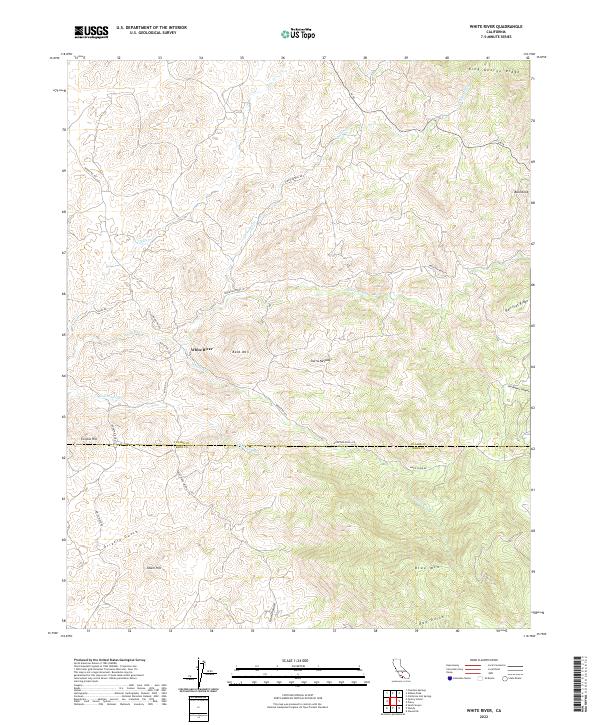
2022 White River
Tulare County, CA
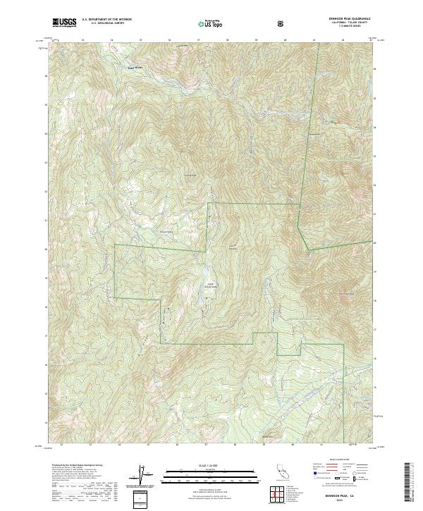
2023 Dennison Peak
Tulare County, CA
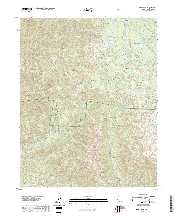
2023 Moses Mountain
Tulare County, CA