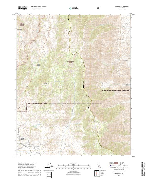
2021 Map of Long Canyon
USGS Topo · Published 2021About this map
Kennedy Meadows sits at a transition point where the high Sierra terrain meets the road networks of Tulare County. This area, largely defined by the boundary between the Sequoia National Forest and Inyo National Forest, shows a landscape dominated by high-elevation meadows and deep drainages. The Kern Wild and Scenic River flows through the northwest corner, protected within a corridor that lacks modern road access.
Find a feature on this map
35 named features on this map. Tap any name to fly to it.
Don’t see what you’re looking for? This feature index may not catch every label — zoom into the map to look around manually.
Map Details
Editions of this 2021 Long Canyon Map
This is the sole edition of this map. No revisions or reprints were ever made.
Other maps of this area

1905 · Olancha
USGS Topo · 1:125,000

1906 · Kernville
USGS Topo · 1:125,000

1907 · Olancha
USGS Topo · 1:125,000

1908 · Kernville
USGS Topo · 1:125,000

1908 · Ballarat
USGS Topo · 1:250,000

1913 · Ballarat
USGS Topo · 1:250,000

1915 · Searles Lake
USGS Topo · 1:250,000

1947 · Trona
USGS Topo · 1:250,000

1948 · Trona
USGS Topo · 1:250,000

1948 · Death Valley
USGS Topo · 1:250,000