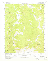
1956 Map of Lamont Peak
USGS Topo · Published 1979About this map
Rockhouse Basin and the winding course of the South Fork Kern River anchor this mid-century study of the high country where the Sierra Nevada transitions toward the desert. The landscape is defined by its extensive meadow systems, including Kennedy Meadows, Sacatar Meadow, and Lamont Meadow, which reflect a long history of seasonal grazing and water management. High peaks and granitic formations like Kennedy Peak, Chimney Peak, and the distinct Dome Land overlook deep canyons and drainage basins. Small-scale mining activity is evident through several marked Prospects and a Prospect located near Long Valley. This area, largely within the Sequoia National Forest, remains sparsely developed, with only a few Jeep Trails and the Scodie Trail providing access through the steep terrain between the Kern River and the neighboring county lines.
Find a feature on this map
45 named features on this map. Tap any name to fly to it.
Don’t see what you’re looking for? This feature index may not catch every label — zoom into the map to look around manually.
Map Details
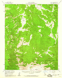
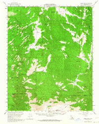
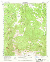
Editions of this 1956 Lamont Peak Map
4 editions found
Other maps of this area

1905 · Olancha
USGS Topo · 1:125,000

1906 · Kernville
USGS Topo · 1:125,000

1907 · Olancha
USGS Topo · 1:125,000

1908 · Kernville
USGS Topo · 1:125,000

1908 · Ballarat
USGS Topo · 1:250,000

1913 · Ballarat
USGS Topo · 1:250,000

1915 · Searles Lake
USGS Topo · 1:250,000

1943 · Inyokern
USGS Topo · 1:62,500

1943 · Onyx
USGS Topo · 1:62,500

1943 · Isabella
USGS Topo · 1:62,500