
1943 Map of Inyokern
USGS Topo · Published 1943About this map
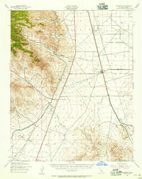
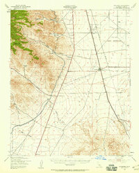
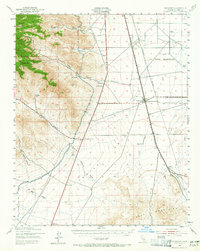
Inyokern and the high desert plains of the Indian Wells Valley are captured here during World War II, showing a landscape defined by critical infrastructure and isolated outposts. The Southern Pacific railroad line runs north through the valley, passing through Leliter and Inyokern, which features a Standard Oil Tank as a prominent local landmark. To the west, the Los Angeles Aqueduct traces the base of the mountains, a vital engineering artery for the growing metropolis to the south.
Find a feature on this map
28 named features on this map. Tap any name to fly to it.
Don’t see what you’re looking for? This feature index may not catch every label — zoom into the map to look around manually.
Map Details
Editions of this 1943 Inyokern Map
4 editions found
Other maps of this area

1903 · Randsburg
USGS Topo · 1:62,500

1906 · Kernville
USGS Topo · 1:125,000

1908 · Kernville
USGS Topo · 1:125,000

1911 · Randsburg
USGS Topo · 1:62,500

1912 · Randsburg
USGS Topo · 1:62,500

1915 · Searles Lake
USGS Topo · 1:250,000

1915 · Mojave
USGS Topo · 1:125,000

1943 · Cross Mountain
USGS Topo · 1:62,500

1943 · Saltdale
USGS Topo · 1:62,500

1943 · Onyx
USGS Topo · 1:62,500