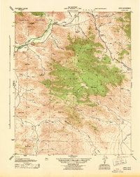
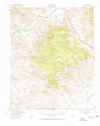
1943 Map of Onyx
USGS Topo · Published 1943About this map
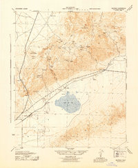
Onyx and its surrounding ranch lands appear here as a vital valley settlement along the South Fork Kern River during the early 1940s. The landscape is defined by the transition from riverine ranching at Onyx Ranch and Bloomfield Ranch to the high elevations of the Sequoia National Forest. Notable for genealogists are the Cottage Grove Cemetery and Indian Cemetery located near the town site.
Find a feature on this map
40 named features on this map. Tap any name to fly to it.
Don’t see what you’re looking for? This feature index may not catch every label — zoom into the map to look around manually.
Map Details
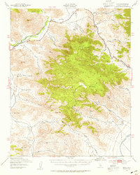
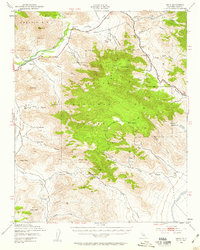
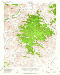
Editions of this 1943 Onyx Map
5 editions found
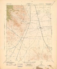
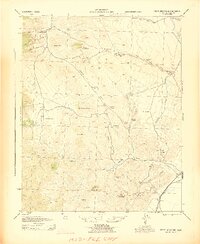
Other maps of this area

1906 · Kernville
USGS Topo · 1:125,000

1908 · Kernville
USGS Topo · 1:125,000

1915 · Searles Lake
USGS Topo · 1:250,000

1915 · Mojave
USGS Topo · 1:125,000
1943 · Inyokern
USGS Topo · 1:62,500
1943 · Cross Mountain
USGS Topo · 1:62,500
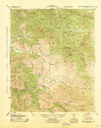
1943 · Emerald Mtn
USGS Topo · 1:62,500
1943 · Saltdale
USGS Topo · 1:62,500
1943 · Isabella
USGS Topo · 1:62,500

1947 · Trona
USGS Topo · 1:250,000