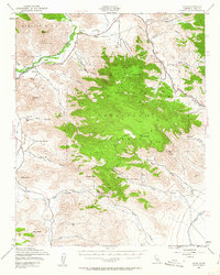
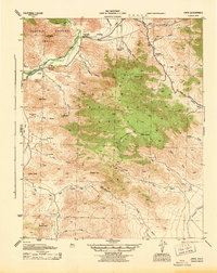
1943 Map of Onyx
USGS Topo · Published 1963About this map
Onyx and its surrounding ranch lands occupy this corner of the Sierra Nevada foothills during the early 1940s. The landscape is defined by the South Fork Kern River drainage and the agricultural operations at Onyx Ranch, Bloomfield Ranch, and Gleason Ranch. Evidence of early settlement is preserved at the Cottage Grove Cem and Indian Cem, while the southeastern corner of the map reveals the massive engineering of the Los Angeles Aqueduct cutting across the desert floor.
Find a feature on this map
46 named features on this map. Tap any name to fly to it.
Don’t see what you’re looking for? This feature index may not catch every label — zoom into the map to look around manually.
Map Details
Editions of this 1943 Onyx Map
5 editions found
Other maps of this area

1906 · Kernville
USGS Topo · 1:125,000

1908 · Kernville
USGS Topo · 1:125,000

1915 · Searles Lake
USGS Topo · 1:250,000

1915 · Mojave
USGS Topo · 1:125,000
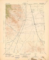
1943 · Inyokern
USGS Topo · 1:62,500
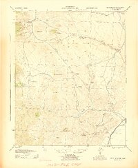
1943 · Cross Mountain
USGS Topo · 1:62,500
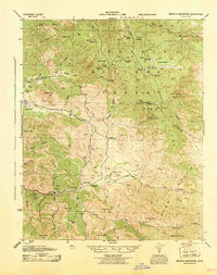
1943 · Emerald Mtn
USGS Topo · 1:62,500
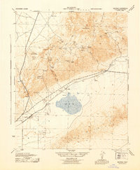
1943 · Saltdale
USGS Topo · 1:62,500
1943 · Onyx
USGS Topo · 1:62,500
1943 · Isabella
USGS Topo · 1:62,500