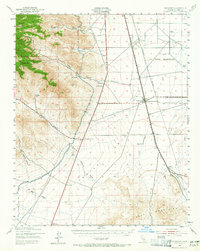
1943 Map of Inyokern
USGS Topo · Published 1965About this map
The high desert landscape of the western Mojave reveals a complex network of mid-century infrastructure, dominated by the Southern Pacific railroad and the vital Los Angeles Aqueduct cutting across the terrain. At the foot of the Sierra Nevada, where Owens Peak and Morris Peak rise sharply, small settlements and outposts like Inyokern, Leliter, and Freeman Junction serve as critical nodes in this arid environment. The map provides an intriguing look at early-1940s land use, showing the U S Naval Reservation boundary alongside specialized sites like the Hi Peak Mine and a State Highway Maintenance Sta.
Find a feature on this map
35 named features on this map. Tap any name to fly to it.
Don’t see what you’re looking for? This feature index may not catch every label — zoom into the map to look around manually.
Map Details
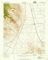
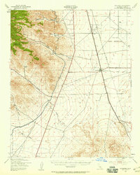
Editions of this 1943 Inyokern Map
4 editions found
Other maps of this area

1903 · Randsburg
USGS Topo · 1:62,500

1906 · Kernville
USGS Topo · 1:125,000

1908 · Kernville
USGS Topo · 1:125,000

1911 · Randsburg
USGS Topo · 1:62,500

1912 · Randsburg
USGS Topo · 1:62,500

1915 · Searles Lake
USGS Topo · 1:250,000

1915 · Mojave
USGS Topo · 1:125,000

1943 · Inyokern
USGS Topo · 1:62,500

1943 · Cross Mountain
USGS Topo · 1:62,500

1943 · Saltdale
USGS Topo · 1:62,500