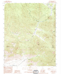
1986 Map of Lamont Peak
USGS Topo · Published 1994About this map
Pacific Crest National Scenic Trail winds through this high-elevation Sierra Nevada landscape at the intersection of Tulare, Inyo, and Kern counties. The terrain is defined by prominent summits such as Lamont Peak and Chimney Peak, with a network of seasonal watercourses including Chimney Meadow Creek and Needle Creek draining the steep slopes. Human activity is localized and centered on recreation and resource exploration, as evidenced by a Campground near the creek and several prospect markings and a Borrow Pit indicating historic mineral interest. The survey shows the transition from valley floors to high ridges, where features like Grapevine Canyon and Ninemile Canyon cut through the granite landscape. This region served as a vital transit corridor for early mountaineers and modern backpackers alike, maintaining a character of isolation and specialized land use into the late twentieth century.
Find a feature on this map
18 named features on this map. Tap any name to fly to it.
Don’t see what you’re looking for? This feature index may not catch every label — zoom into the map to look around manually.
Map Details
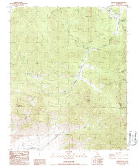
Editions of this 1986 Lamont Peak Map
2 editions found
Other maps of this area

1906 · Kernville
USGS Topo · 1:125,000

1908 · Kernville
USGS Topo · 1:125,000

1915 · Searles Lake
USGS Topo · 1:250,000

1943 · Inyokern
USGS Topo · 1:62,500

1943 · Onyx
USGS Topo · 1:62,500

1947 · Trona
USGS Topo · 1:250,000

1948 · Trona
USGS Topo · 1:250,000

1948 · Bakersfield
USGS Topo · 1:250,000

1953 · Trona
USGS Topo · 1:250,000

1954 · Little Lake
USGS Topo · 1:62,500