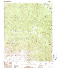
1986 Map of Lamont Peak
USGS Topo · Published 1986About this map
Chimney Creek and Lamont Meadow Creek carve through this high-elevation landscape where the boundaries of Tulare, Inyo, and Kern counties converge. The terrain is defined by dramatic peaks and deep drainages, notably Chimney Peak and Lamont Peak, which overlook a network of canyons including Ninemile Canyon and Grapevine Canyon. The presence of the Pacific Crest National Scenic Trail winding through the eastern portion of the quadrangle highlights the area's importance for long-distance wilderness travel in the mid-1980s.
Find a feature on this map
24 named features on this map. Tap any name to fly to it.
Don’t see what you’re looking for? This feature index may not catch every label — zoom into the map to look around manually.
Map Details
Editions of this 1986 Lamont Peak Map
2 editions found
Other maps of this area

1906 · Kernville
USGS Topo · 1:125,000

1908 · Kernville
USGS Topo · 1:125,000

1915 · Searles Lake
USGS Topo · 1:250,000

1943 · Inyokern
USGS Topo · 1:62,500

1943 · Onyx
USGS Topo · 1:62,500

1947 · Trona
USGS Topo · 1:250,000

1948 · Trona
USGS Topo · 1:250,000

1948 · Bakersfield
USGS Topo · 1:250,000

1953 · Trona
USGS Topo · 1:250,000

1954 · Little Lake
USGS Topo · 1:62,500