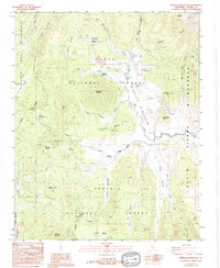
1987 Map of Monache Mountain
USGS Topo · Published 1994About this map
High Sierras meadows and volcanic peaks dominate this landscape in the southern Tulare County wilderness. At the center of this high-altitude basin lies Monache Meadow, through which the Kern River flows northward toward its headwaters. The prominent cinder cone of Monache Mountain rises above the meadow floor, while the surrounding terrain is marked by a network of 4WD trails and specialized infrastructure like the Landing Strip and the Monache Ranger Sta.
Find a feature on this map
45 named features on this map. Tap any name to fly to it.
Don’t see what you’re looking for? This feature index may not catch every label — zoom into the map to look around manually.
Map Details
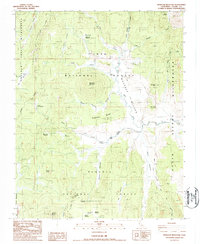
Editions of this 1987 Monache Mountain Map
2 editions found
Other maps of this area

1905 · Olancha
USGS Topo · 1:125,000

1907 · Olancha
USGS Topo · 1:125,000

1948 · Fresno
USGS Topo · 1:250,000

1955 · Fresno
USGS Topo · 1:250,000

1956 · Fresno
USGS Topo · 1:250,000

1956 · Hockett Peak
USGS Topo · 1:62,500
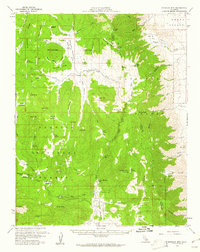
1956 · Monache Mtn
USGS Topo · 1:62,500

1956 · Olancha
USGS Topo · 1:62,500
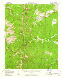
1956 · Kern Peak
USGS Topo · 1:62,500

1958 · Fresno
USGS Topo · 1:250,000