
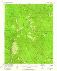
1956 Map of Hockett Peak
USGS Topo · Published 1959About this map
Sequoia National Forest and Inyo National Forest meet in this mid-century study of the southern Sierra Nevada, where the drainage of the Little Kern River and the Kern River shapes a high-country landscape of meadows and granite peaks. The map details a network of administrative and recreational outposts essential for forest management and early wilderness travel, including the Trout Meadows Guard Sta, Beach Mdws Guard Sta, and Curliss Mdws Guard Sta. High-altitude meadows such as Hockett Mdws and Casa Vieja Mdws serve as anchors for the trail systems of the era.
Find a feature on this map
75 named features on this map. Tap any name to fly to it.
Don’t see what you’re looking for? This feature index may not catch every label — zoom into the map to look around manually.
Map Details
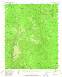
Editions of this 1956 Hockett Peak Map
3 editions found
Other maps of this area

1904 · Kaweah
USGS Topo · 1:125,000

1905 · Olancha
USGS Topo · 1:125,000

1905 · Fairview
USGS Topo · 1:24,000

1906 · Kernville
USGS Topo · 1:125,000

1907 · Olancha
USGS Topo · 1:125,000

1908 · Kernville
USGS Topo · 1:125,000

1909 · Kaweah
USGS Topo · 1:125,000

1918 · Fairview
USGS Topo · 1:31,680

1936 · Tobias Peak
USGS Topo · 1:125,000

1937 · Kaweah
USGS Topo · 1:125,000