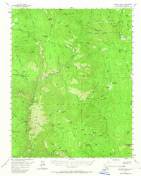
1956 Map of Hockett Peak
USGS Topo · Published 1967About this map
The Kern River and Little Kern River carve deep through the southern Sierras in this mid-century survey, a landscape defined by high-altitude meadows and forestry outposts. Remote outposts such as Trout Meadows Guard Sta, Beach Mdws Guard Sta, and Curliss Mdws Guard Sta served as the primary human presence in this region during the 1950s. The map traces the primitive transportation network of the era, including the Rincon Trail and various unnamed tracks that connect seasonal camps like Pyles Camp and Durwood Camp.
Find a feature on this map
100 named features on this map. Tap any name to fly to it.
Don’t see what you’re looking for? This feature index may not catch every label — zoom into the map to look around manually.
Map Details
Editions of this 1956 Hockett Peak Map
3 editions found

Other maps of this area

1904 · Kaweah
USGS Topo · 1:125,000

1905 · Olancha
USGS Topo · 1:125,000

1905 · Fairview
USGS Topo · 1:24,000

1906 · Kernville
USGS Topo · 1:125,000

1907 · Olancha
USGS Topo · 1:125,000

1908 · Kernville
USGS Topo · 1:125,000

1909 · Kaweah
USGS Topo · 1:125,000

1918 · Fairview
USGS Topo · 1:31,680

1936 · Tobias Peak
USGS Topo · 1:125,000

1937 · Kaweah
USGS Topo · 1:125,000