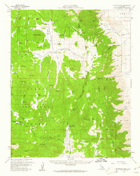
1956 Map of Monache Mtn
USGS Topo · Published 1961About this map
Monache Mtn stands as the central landmark of this high-elevation landscape, where the Sequoia National Forest and Inyo National Forest converge at the boundary of Tulare and Inyo counties. The terrain is characterized by a series of high meadows and mountain passes, including Olancha Pass and Bakeoven Pass, which historically served as vital transit points through the Sierra Nevada. Evidence of early wilderness infrastructure is visible at Kennedy Meadows Camp and Sam Lewis Camp, alongside a Landing Strip near Soda Springs. The drainage patterns of Monache Creek and the South Fork Monache Meadows reveal a landscape shaped by seasonal water flow, while the presence of a Gaging Sta on the Kern River indicates the mid-century focus on water resource management by the state. This area represents a period of backcountry recreation and resource monitoring before later wilderness designations limited such motorized and structural developments.
Find a feature on this map
83 named features on this map. Tap any name to fly to it.
Don’t see what you’re looking for? This feature index may not catch every label — zoom into the map to look around manually.
Map Details
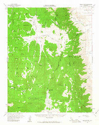
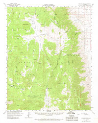
Editions of this 1956 Monache Mtn Map
3 editions found
Other maps of this area

1905 · Olancha
USGS Topo · 1:125,000

1906 · Kernville
USGS Topo · 1:125,000

1907 · Olancha
USGS Topo · 1:125,000

1908 · Kernville
USGS Topo · 1:125,000

1908 · Ballarat
USGS Topo · 1:250,000

1913 · Ballarat
USGS Topo · 1:250,000

1915 · Searles Lake
USGS Topo · 1:250,000

1947 · Trona
USGS Topo · 1:250,000

1948 · Trona
USGS Topo · 1:250,000

1948 · Death Valley
USGS Topo · 1:250,000