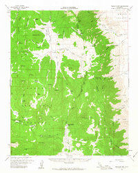
1956 Map of Monache Mtn
USGS Topo · Published 1963About this map
Monache Mtn dominates this high-country landscape along the boundary of the Inyo National Forest and Sequoia National Forest. The mid-century survey documents a remote wilderness managed for water resources and forest access, centered on the upper reaches of the Kern River. Significant meadows, such as the South Fork Monache Meadows and Bakeoven Meadows, serve as key landmarks for backcountry navigation.
Find a feature on this map
56 named features on this map. Tap any name to fly to it.
Don’t see what you’re looking for? This feature index may not catch every label — zoom into the map to look around manually.
Map Details
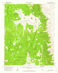
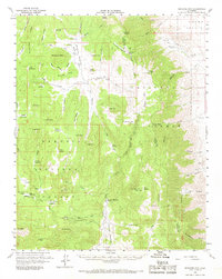
Editions of this 1956 Monache Mtn Map
3 editions found
Other maps of this area

1905 · Olancha
USGS Topo · 1:125,000

1906 · Kernville
USGS Topo · 1:125,000

1907 · Olancha
USGS Topo · 1:125,000

1908 · Kernville
USGS Topo · 1:125,000

1908 · Ballarat
USGS Topo · 1:250,000

1913 · Ballarat
USGS Topo · 1:250,000

1915 · Searles Lake
USGS Topo · 1:250,000

1947 · Trona
USGS Topo · 1:250,000

1948 · Trona
USGS Topo · 1:250,000

1948 · Death Valley
USGS Topo · 1:250,000