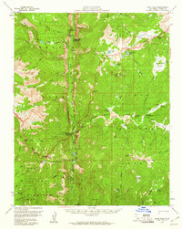
1956 Map of Kern Peak
USGS Topo · Published 1961About this map
Kern River flows through the center of this high Sierra landscape, cutting a deep path between the Chagoopa Plateau and the Boreal Plateau. This mid-century survey documents the backcountry infrastructure of the Sequoia National Park and surrounding national forests, highlighting isolated outposts such as the Chagoopa Falls Ranger Station and the Kern Canyon Ranger Station. The inclusion of the Tunnel Meadow Landing Strip and the Tunnel Air Camp reflects the importance of aviation for managing these remote regions in the 1950s.
Find a feature on this map
97 named features on this map. Tap any name to fly to it.
Don’t see what you’re looking for? This feature index may not catch every label — zoom into the map to look around manually.
Map Details
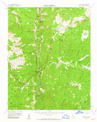
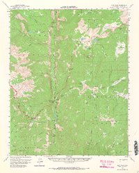
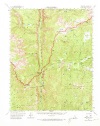
Editions of this 1956 Kern Peak Map
4 editions found
Other maps of this area

1903 · Tehipite
USGS Topo · 1:125,000

1904 · Kaweah
USGS Topo · 1:125,000

1905 · Tehipite
USGS Topo · 1:125,000

1905 · Olancha
USGS Topo · 1:125,000

1907 · Olancha
USGS Topo · 1:125,000

1907 · Mt. Whitney
USGS Topo · 1:125,000

1909 · Kaweah
USGS Topo · 1:125,000

1919 · Mt. Whitney
USGS Topo · 1:125,000

1937 · Mt. Whitney
USGS Topo · 1:125,000

1937 · Kaweah
USGS Topo · 1:125,000