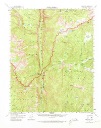
1956 Map of Kern Peak
USGS Topo · Published 1973About this map
The Kern River carves a deep path through the heart of the southern Sierra Nevada, defining a landscape of high alpine plateaus and isolated patrol outposts. This mid-century survey documents the intersection of Sequoia National Park and Inyo National Forest, where the Great Western Divide meets the Toowah Range. The map traces the High Sierra Trail as it traverses the Chagoopa Plateau, passing Sky Parlor Meadow and the dramatic Chagoopa Falls. Settlement is sparse, limited to administrative and seasonal sites like the Kern Canyon Ranger Sta, Rock Creek Patrol Cabin, and the Tunnel Air Camp. Evidence of the region's volcanic past is visible in the east, where labels for Lava flows and the Volcano Meadow appear near the South Fork Kern River. The topography reveals complex glacial and riverine features, from the Window Cliffs to the unique Natural Bridge, illustrating a backcountry accessible only by trail during the 1950s.
Find a feature on this map
89 named features on this map. Tap any name to fly to it.
Don’t see what you’re looking for? This feature index may not catch every label — zoom into the map to look around manually.
Map Details
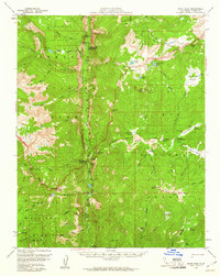
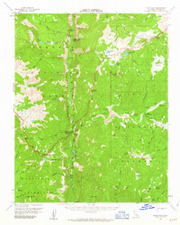
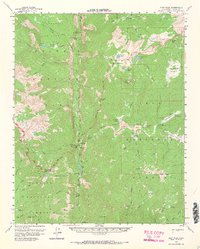
Editions of this 1956 Kern Peak Map
4 editions found
Other maps of this area

1903 · Tehipite
USGS Topo · 1:125,000

1904 · Kaweah
USGS Topo · 1:125,000

1905 · Tehipite
USGS Topo · 1:125,000

1905 · Olancha
USGS Topo · 1:125,000

1907 · Olancha
USGS Topo · 1:125,000

1907 · Mt. Whitney
USGS Topo · 1:125,000

1909 · Kaweah
USGS Topo · 1:125,000

1919 · Mt. Whitney
USGS Topo · 1:125,000

1937 · Mt. Whitney
USGS Topo · 1:125,000

1937 · Kaweah
USGS Topo · 1:125,000