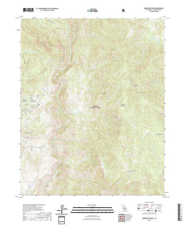
2021 Map of Durrwood Creek
USGS Topo · Published 2021About this map
The Kern Wild and Scenic River carves a deep path through the Sequoia National Forest, defining the central corridor of this Tulare County landscape. The terrain is a network of high granite features and isolated meadows, ranging from the dramatic spire-like formation of The Needles in the northwest to the prominence of Sherman Peak in the southeast. Numerous seasonal and perennial watercourses like Durrwood Cr, Freeman Cr, and Peppermint Cr feed into the Kern, creating a rugged watershed where historical movement was dictated by the river's flow and the accessibility of high-altitude pastures. The presence of named clearings such as Stony Meadow, Corral Meadow, and Schaeffer Meadow suggests a legacy of seasonal grazing and pack-trail navigation. Access into this part of the Sierra Nevada is primarily traced through the Lloyd Meadow road, which parallels the river valley.
Find a feature on this map
28 named features on this map. Tap any name to fly to it.
Don’t see what you’re looking for? This feature index may not catch every label — zoom into the map to look around manually.
Map Details
Editions of this 2021 Durrwood Creek Map
This is the sole edition of this map. No revisions or reprints were ever made.
Other maps of this area

1904 · Kaweah
USGS Topo · 1:125,000

1905 · Olancha
USGS Topo · 1:125,000

1905 · Fairview
USGS Topo · 1:24,000

1906 · Kernville
USGS Topo · 1:125,000

1907 · Olancha
USGS Topo · 1:125,000

1908 · Kernville
USGS Topo · 1:125,000

1909 · Kaweah
USGS Topo · 1:125,000

1918 · Fairview
USGS Topo · 1:31,680

1936 · Tobias Peak
USGS Topo · 1:125,000

1937 · Kaweah
USGS Topo · 1:125,000