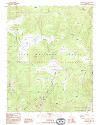
1993 Map of Templeton Mtn
USGS Topo · Published 1995About this map
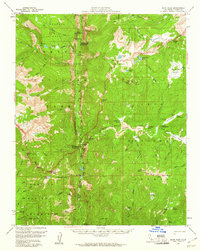
Templeton Mountain serves as a central landmark for this high-altitude landscape in the southern Sierra Nevada, where the drainage of the South Fork Kern River creates a network of seasonal meadows. Designated as a Wild and Scenic River, this waterway is fed by numerous tributaries including Templeton Creek and Strawberry Creek. The map documents the pastoral heritage of the region through sites like Templeton Cow Camp and Brown Cow Camp, indicating the area's history of high-country grazing.
Find a feature on this map
31 named features on this map. Tap any name to fly to it.
Don’t see what you’re looking for? This feature index may not catch every label — zoom into the map to look around manually.
Map Details
Editions of this 1993 Templeton Mtn Map
This is the sole edition of this map. No revisions or reprints were ever made.
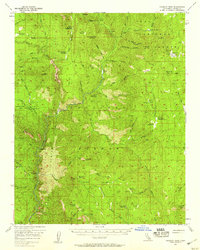
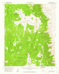
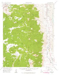
Other maps of this area

1905 · Olancha
USGS Topo · 1:125,000

1907 · Olancha
USGS Topo · 1:125,000

1948 · Fresno
USGS Topo · 1:250,000

1955 · Fresno
USGS Topo · 1:250,000

1956 · Fresno
USGS Topo · 1:250,000
1956 · Hockett Peak
USGS Topo · 1:62,500
1956 · Monache Mtn
USGS Topo · 1:62,500
1956 · Olancha
USGS Topo · 1:62,500
1956 · Kern Peak
USGS Topo · 1:62,500

1958 · Fresno
USGS Topo · 1:250,000