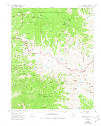
1956 Map of Triple Divide Peak
USGS Topo · Published 1980About this map
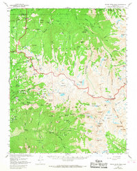
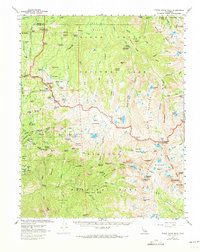
Triple Divide Peak serves as a hydrographic centerpiece within the high Sierras, marking the intersection of the Sequoia and Kings Canyon National Park boundaries. This mid-century survey details a landscape transitioning from the recreational developments at Lodgepole and Wolverton to the remote backcountry of the Giant Forest. Historic backcountry shelters and routes like the Ski Hut, Tharps Log, and the High Sierra Trail are meticulously documented, illustrating how park infrastructure was integrated into the natural environment. Further south, the Redwood Meadow Grove and the Sevenmile Hill Trail indicate the preservation of ancient groves and early trail systems. The map also records localized human elements, such as a solitary Grave and a Mine near Elizabeth Pass, providing small but significant clues to the region's human history amidst the peaks of the Kaweah Queen and Black Kaweah.
Find a feature on this map
140 named features on this map. Tap any name to fly to it.
Don’t see what you’re looking for? This feature index may not catch every label — zoom into the map to look around manually.
Map Details
Editions of this 1956 Triple Divide Peak Map
6 editions found
Other maps of this area

1903 · Tehipite
USGS Topo · 1:125,000

1904 · Kaweah
USGS Topo · 1:125,000

1905 · Tehipite
USGS Topo · 1:125,000

1905 · Olancha
USGS Topo · 1:125,000

1907 · Olancha
USGS Topo · 1:125,000

1907 · Mt. Whitney
USGS Topo · 1:125,000

1909 · Kaweah
USGS Topo · 1:125,000

1919 · Mt. Whitney
USGS Topo · 1:125,000

1937 · Mt. Whitney
USGS Topo · 1:125,000

1937 · Kaweah
USGS Topo · 1:125,000