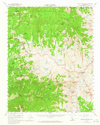
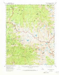
1956 Map of Triple Divide Peak
USGS Topo · Published 1965About this map
The High Sierra backcountry of Sequoia National Park and Sequoia National Forest dominates this mid-century survey, centered on the hydrologic significance of Triple Divide Peak. This topographical nexus separates the watersheds of the Roaring River, Kern-Kaweah River, and Kaweah River, shaping the distribution of ancient sequoia stands including the Redwood Meadow Grove and Castle Creek Grove. Access into this high-elevation terrain is traced through the Generals Highway and the High Sierra Trail, connecting remote outposts like the Roaring River Ranger Sta and Redwood Meadow Ranger Station. The landscape is characterized by expansive glacial features like the Great Western Divide, Glacier Ridge, and the Tableland. Early resource extraction is noted by Mines near the southern boundary, while the presence of Wolverton Corrals and scattered meadows like Scaffold Meadows and Sugarloaf Meadow indicate the historical transition from commercial use to wilderness management.
Find a feature on this map
129 named features on this map. Tap any name to fly to it.
Don’t see what you’re looking for? This feature index may not catch every label — zoom into the map to look around manually.
Map Details
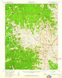
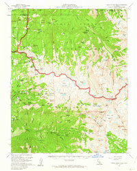
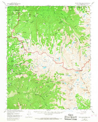
Editions of this 1956 Triple Divide Peak Map
6 editions found
Other maps of this area

1903 · Tehipite
USGS Topo · 1:125,000

1904 · Kaweah
USGS Topo · 1:125,000

1905 · Tehipite
USGS Topo · 1:125,000

1905 · Olancha
USGS Topo · 1:125,000

1907 · Olancha
USGS Topo · 1:125,000

1907 · Mt. Whitney
USGS Topo · 1:125,000

1909 · Kaweah
USGS Topo · 1:125,000

1919 · Mt. Whitney
USGS Topo · 1:125,000

1937 · Mt. Whitney
USGS Topo · 1:125,000

1937 · Kaweah
USGS Topo · 1:125,000