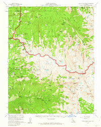
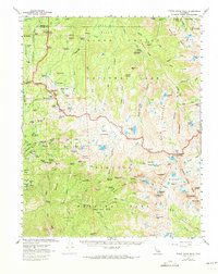
1956 Map of Triple Divide Peak
USGS Topo · Published 1962About this map
Triple Divide Peak serves as the topographic centerpiece of this mid-century survey, marking the hydrographic meeting point of several major drainages within the High Sierra. The landscape reflects the established boundaries of Kings Canyon National Park and Sequoia National Park, where the Generals Highway provides access to developed areas like Lodgepole and the Lodgepole Ranger Sta. This map captures a backcountry still heavily reliant on pack trails and foot travel, evidenced by the High Sierra Trail and the presence of the Wolverton Corrals.
Find a feature on this map
131 named features on this map. Tap any name to fly to it.
Don’t see what you’re looking for? This feature index may not catch every label — zoom into the map to look around manually.
Map Details
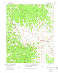
Editions of this 1956 Triple Divide Peak Map
6 editions found
Other maps of this area

1903 · Tehipite
USGS Topo · 1:125,000

1904 · Kaweah
USGS Topo · 1:125,000

1905 · Tehipite
USGS Topo · 1:125,000

1905 · Olancha
USGS Topo · 1:125,000

1907 · Olancha
USGS Topo · 1:125,000

1907 · Mt. Whitney
USGS Topo · 1:125,000

1909 · Kaweah
USGS Topo · 1:125,000

1919 · Mt. Whitney
USGS Topo · 1:125,000

1937 · Mt. Whitney
USGS Topo · 1:125,000

1937 · Kaweah
USGS Topo · 1:125,000