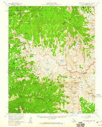
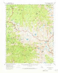
1956 Map of Triple Divide Peak
USGS Topo · Published 1960About this map
Lodgepole and the Giant Forest anchor the western edge of this 1956 survey, where the Generals Highway winds through massive sequoia groves. The landscape transitions from the managed facilities at Wolverton Corrals and the historic Tharps Log into the high wilderness of the High Sierra. Remote administrative outposts like the Roaring River Ranger Sta and Redwood Meadow Ranger Station reflect the mid-century wilderness management era before modern helicopter logistics became commonplace.
Find a feature on this map
120 named features on this map. Tap any name to fly to it.
Don’t see what you’re looking for? This feature index may not catch every label — zoom into the map to look around manually.
Map Details
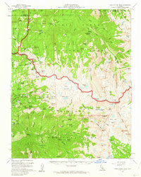
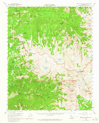
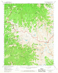
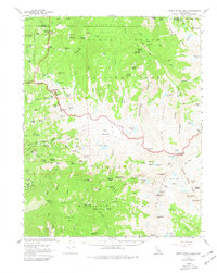
Editions of this 1956 Triple Divide Peak Map
6 editions found
Other maps of this area

1903 · Tehipite
USGS Topo · 1:125,000

1904 · Kaweah
USGS Topo · 1:125,000

1905 · Tehipite
USGS Topo · 1:125,000

1905 · Olancha
USGS Topo · 1:125,000

1907 · Olancha
USGS Topo · 1:125,000

1907 · Mt. Whitney
USGS Topo · 1:125,000

1909 · Kaweah
USGS Topo · 1:125,000

1919 · Mt. Whitney
USGS Topo · 1:125,000

1937 · Mt. Whitney
USGS Topo · 1:125,000

1937 · Kaweah
USGS Topo · 1:125,000