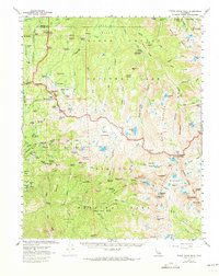
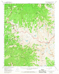
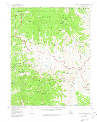
1956 Map of Triple Divide Peak
USGS Topo · Published 1973About this map
Lodgepole serves as a key hub in this mid-century look at the High Sierra, situated along the Generals Highway near the Tokopah Valley River. The map details the transition from the giant redwood groves of the Giant Forest and Congress Group to the high alpine granite of the Great Western Divide. High-altitude landmarks like Alta Peak and Triple Divide Peak define the hydrological boundaries between the Kaweah, Kern, and Kings river systems. For backcountry historians, the sheet traces the High Sierra Trail as it winds past the Bearpaw Meadow Ranger Station toward Hamilton Lakes and Kaweah Gap. Visible infrastructure includes the Wolverton Corrals, a Ski Hut, and the Log Bridge Campground, alongside more isolated features like a lone Mine near the Middle Fork Kaweah River.
Find a feature on this map
132 named features on this map. Tap any name to fly to it.
Don’t see what you’re looking for? This feature index may not catch every label — zoom into the map to look around manually.
Map Details
Editions of this 1956 Triple Divide Peak Map
6 editions found
Other maps of this area

1903 · Tehipite
USGS Topo · 1:125,000

1904 · Kaweah
USGS Topo · 1:125,000

1905 · Tehipite
USGS Topo · 1:125,000

1905 · Olancha
USGS Topo · 1:125,000

1907 · Olancha
USGS Topo · 1:125,000

1907 · Mt. Whitney
USGS Topo · 1:125,000

1909 · Kaweah
USGS Topo · 1:125,000

1919 · Mt. Whitney
USGS Topo · 1:125,000

1937 · Mt. Whitney
USGS Topo · 1:125,000

1937 · Kaweah
USGS Topo · 1:125,000