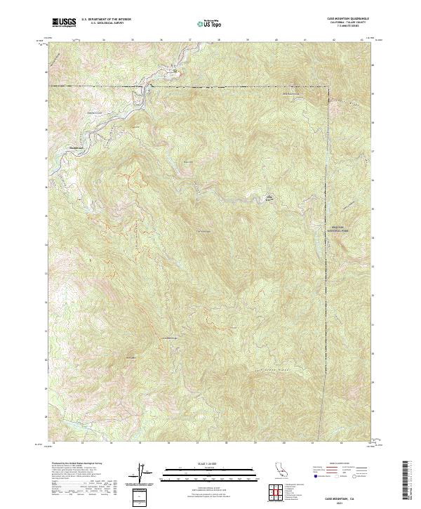
2021 Map of Case Mountain
USGS Topo · Published 2021About this map
The confluence of the Kaweah River and its various forks dominates this landscape on the edge of Sequoia National Park. The settlement of Hammond serves as a western gateway along Sierra Dr, where the E Fork Kaweah River winds through deep canyons toward the high peaks of the Sierra Nevada. The map reveals a complex network of mountain roads such as Mineral King Rd and the Generals Highway, which navigate the steep gradients between River Hill and the towering Milk Ranch Peak. Notable topographic markers like Case Mtn and Horn Mtn define the drainage basins of Salt Cr and Cinnamon Cr. This area is characterized by dramatic elevation changes, moving from the river valleys up to landmarks like Paradise Ridge and Ash Peaks Ridge, providing a clear view of the access routes into the national forest and surrounding foothills.
Find a feature on this map
44 named features on this map. Tap any name to fly to it.
Don’t see what you’re looking for? This feature index may not catch every label — zoom into the map to look around manually.
Map Details
Editions of this 2021 Case Mountain Map
This is the sole edition of this map. No revisions or reprints were ever made.
Other maps of this area

1903 · Tehipite
USGS Topo · 1:125,000

1904 · Kaweah
USGS Topo · 1:125,000

1905 · Tehipite
USGS Topo · 1:125,000

1909 · Kaweah
USGS Topo · 1:125,000

1937 · Kaweah
USGS Topo · 1:125,000

1948 · Fresno
USGS Topo · 1:250,000

1955 · Fresno
USGS Topo · 1:250,000

1956 · Fresno
USGS Topo · 1:250,000

1956 · Giant Forest
USGS Topo · 1:62,500

1956 · Mineral King
USGS Topo · 1:62,500