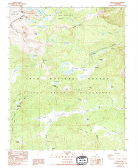
1988 Map of Cirque Peak
USGS Topo · Published 1994About this map
Golden Trout Camp and Mulkey Cow Camp anchor the human activity in this high-elevation wilderness, where the boundaries of Sequoia National Park and the Inyo National Forest converge. The landscape is dominated by high-altitude meadows and glacier-sculpted terrain, centered around Cirque Peak and the sprawling Mulkey Meadows to the south. The mapping of the Pacific Crest National Scenic Trail as it crosses Cottonwood Pass and winds past Chicken Spring Lake illustrates the transition from 1980s aerial photography to this 1990s publication. Numerous alpine water bodies, including Cottonwood Lakes and Muir Lake, feed into the drainage systems of Cottonwood Creek and the South Fork Kern River. This study captures the traditional pack-trail routes and camp locations used by backcountry travelers and cattlemen before the end of the century.
Find a feature on this map
49 named features on this map. Tap any name to fly to it.
Don’t see what you’re looking for? This feature index may not catch every label — zoom into the map to look around manually.
Map Details
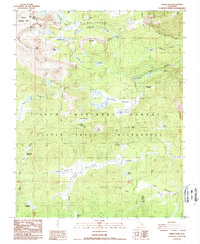
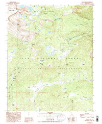
Editions of this 1988 Cirque Peak Map
3 editions found
Other maps of this area

1905 · Olancha
USGS Topo · 1:125,000

1907 · Olancha
USGS Topo · 1:125,000

1907 · Mt. Whitney
USGS Topo · 1:125,000

1919 · Mt. Whitney
USGS Topo · 1:125,000

1937 · Mt. Whitney
USGS Topo · 1:125,000

1948 · Fresno
USGS Topo · 1:250,000

1955 · Fresno
USGS Topo · 1:250,000

1956 · Fresno
USGS Topo · 1:250,000

1956 · Mount Whitney
USGS Topo · 1:62,500

1956 · Olancha
USGS Topo · 1:62,500