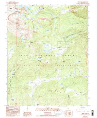
1988 Map of Cirque Peak
USGS Topo · Published 1994About this map
Sequoia National Park and the John Muir Wilderness converge at this high-altitude divide in the Sierras, where granite basins and alpine meadows form the headwaters for several key drainages. The Pacific Crest National Scenic Trail traverses the western portion of the map, skirting Chicken Spring Lake and crossing the crest at Cottonwood Pass. This area serves as a primary gateway for high-country exploration, featuring established landmarks like Golden Trout Camp and the high-elevation basin of Cottonwood Lakes.
Find a feature on this map
39 named features on this map. Tap any name to fly to it.
Don’t see what you’re looking for? This feature index may not catch every label — zoom into the map to look around manually.
Map Details
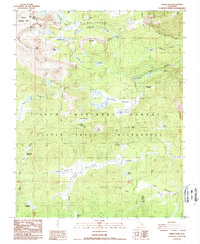
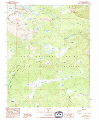
Editions of this 1988 Cirque Peak Map
3 editions found
Other maps of this area

1905 · Olancha
USGS Topo · 1:125,000

1907 · Olancha
USGS Topo · 1:125,000

1907 · Mt. Whitney
USGS Topo · 1:125,000

1919 · Mt. Whitney
USGS Topo · 1:125,000

1937 · Mt. Whitney
USGS Topo · 1:125,000

1948 · Fresno
USGS Topo · 1:250,000

1955 · Fresno
USGS Topo · 1:250,000

1956 · Fresno
USGS Topo · 1:250,000

1956 · Mount Whitney
USGS Topo · 1:62,500

1956 · Olancha
USGS Topo · 1:62,500