
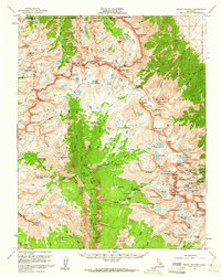
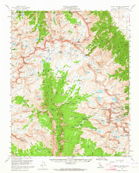
1956 Map of Mount Whitney
USGS Topo · Published 1960About this map
Mount Whitney stands as the centerpiece of this mid-century survey, surrounded by the high-altitude terrain of Kings Canyon National Park, Sequoia National Park, and Inyo National Forest. The map documents a critical network of wilderness infrastructure, including the famous John Muir Trail and High Sierra Trail, alongside the Tyndall Creek Ranger Station and Crabtree Ranger Station. The landscape is defined by the deep carving of Kern Canyon and the Kern River, which flows south beneath the massive Chagoopa Plateau. Geologists and surveyors of the era captured the complex drainage of the Kaweah Peaks Ridge and the Center Basin Crags, while naming distinctive alpine features like Lake South America and the high-elevation Tulainyo Lake. This edition reflects the post-war era of expanded recreational mapping in the Sierras, providing a precise record of established passes such as Forester Pass and Shepherd Pass before modern ecological shifts.
Find a feature on this map
136 named features on this map. Tap any name to fly to it.
Don’t see what you’re looking for? This feature index may not catch every label — zoom into the map to look around manually.
Map Details
Editions of this 1956 Mount Whitney Map
3 editions found
Other maps of this area

1903 · Tehipite
USGS Topo · 1:125,000

1904 · Kaweah
USGS Topo · 1:125,000

1905 · Tehipite
USGS Topo · 1:125,000

1905 · Olancha
USGS Topo · 1:125,000

1907 · Olancha
USGS Topo · 1:125,000

1907 · Mt. Whitney
USGS Topo · 1:125,000

1909 · Kaweah
USGS Topo · 1:125,000

1919 · Mt. Whitney
USGS Topo · 1:125,000

1937 · Mt. Whitney
USGS Topo · 1:125,000

1937 · Kaweah
USGS Topo · 1:125,000