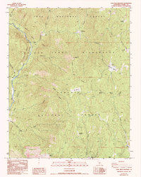
1987 Map of Casa Vieja Meadows
USGS Topo · Published 1994About this map
Casa Vieja Meadows and the surrounding high-country glades define this 1987 provisional survey of the southern Sierra Nevada. The landscape is characterized by a series of named openings including Beach Meadows, Lion Meadows, and the colorfully named Beer Keg Meadow, which served as critical landmarks for forest navigation and livestock grazing before more modern recreational use. The Kern River flows along the western edge, designated here as a Wild and Scenic River, where topographic isolation protected early outposts like Painter Camp and Soda Flat.
Find a feature on this map
43 named features on this map. Tap any name to fly to it.
Don’t see what you’re looking for? This feature index may not catch every label — zoom into the map to look around manually.
Map Details
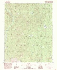
Editions of this 1987 Casa Vieja Meadows Map
2 editions found
Other maps of this area

1905 · Olancha
USGS Topo · 1:125,000

1907 · Olancha
USGS Topo · 1:125,000

1948 · Fresno
USGS Topo · 1:250,000

1955 · Fresno
USGS Topo · 1:250,000

1956 · Fresno
USGS Topo · 1:250,000

1956 · Hockett Peak
USGS Topo · 1:62,500
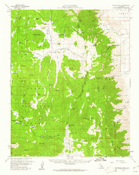
1956 · Monache Mtn
USGS Topo · 1:62,500

1956 · Olancha
USGS Topo · 1:62,500
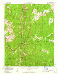
1956 · Kern Peak
USGS Topo · 1:62,500

1958 · Fresno
USGS Topo · 1:250,000