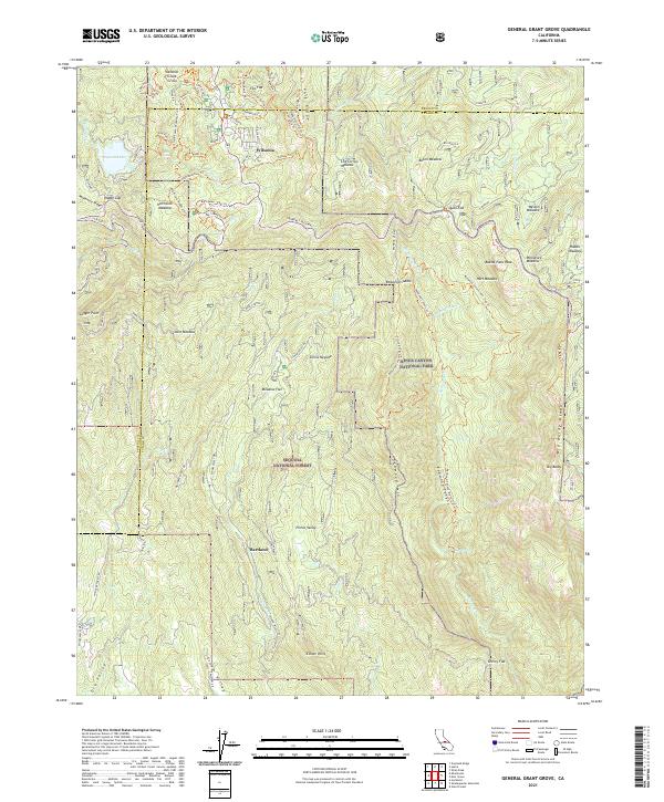
2021 Map of General Grant Grove
USGS Topo · Published 2021About this map
General Grant Grove serves as the focal point of this high-elevation landscape where Kings Canyon National Park meets the Sequoia National Forest. The map details a complex network of forest roads and trails, including the Generals Highway and McKenzie Ridge, which connect isolated mountain settlements like Wilsonia and Hartland. The terrain is characterized by a high density of meadows and clearings such as Hitchcock Meadow, Log Corral Meadow, and Weston Meadow, which historically supported early grazing and tourism in the Sierra Nevada. To the south, the Eshom Valley Cemetery provides a specific point of genealogical interest near Eshom Point, while the northern reaches are dominated by landmarks like Sequoia Lake and the dramatic Big Baldy Ridge.
Find a feature on this map
83 named features on this map. Tap any name to fly to it.
Don’t see what you’re looking for? This feature index may not catch every label — zoom into the map to look around manually.
Map Details
Editions of this 2021 General Grant Grove Map
This is the sole edition of this map. No revisions or reprints were ever made.
Other maps of this area

1903 · Tehipite
USGS Topo · 1:125,000

1905 · Tehipite
USGS Topo · 1:125,000

1922 · Trimmer
USGS Topo · 1:96,000

1924 · Dinuba
USGS Topo · 1:125,000

1942 · Dunlap
USGS Topo · 1:62,500

1944 · Dunlap
USGS Topo · 1:62,500

1948 · Fresno
USGS Topo · 1:250,000

1952 · Tehipite Dome
USGS Topo · 1:62,500

1952 · Patterson Mountain
USGS Topo · 1:62,500

1955 · Fresno
USGS Topo · 1:250,000