
1952 Map of Patterson Mountain
USGS Topo · Published 1955About this map
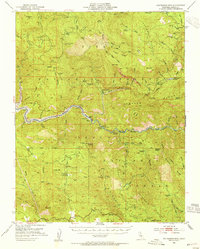
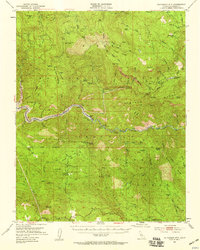
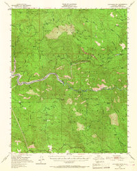
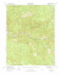
Patterson Mountain and the deep canyons of the Kings River define this 1952 topographic study of the High Sierra foothills. The map documents a critical period of infrastructure development in Fresno County, specifically highlighting the Pine Flat Reservoir area where blue hatching indicates land soon to be submerged by the rising waters. This transition from a river-run landscape to a managed reservoir is marked by the presence of river-level features like Kirch Flat and the State Fish Hatchery. Higher in the timbered slopes, the presence of the Sierra National Forest and Sequoia Nat For is punctuated by lookouts and guard stations. Early resource extraction and management are visible through labels for Rancheria (Site) and Sawmill Flat (Site), while Balch Camp serves as a hub for the region's hydro-electric and forestry operations.
Find a feature on this map
64 named features on this map. Tap any name to fly to it.
Don’t see what you’re looking for? This feature index may not catch every label — zoom into the map to look around manually.
Map Details
Editions of this 1952 Patterson Mountain Map
5 editions found
Other maps of this area

1903 · Tehipite
USGS Topo · 1:125,000

1904 · Kaiser
USGS Topo · 1:125,000

1905 · Tehipite
USGS Topo · 1:125,000

1912 · Mt. Goddard
USGS Topo · 1:125,000

1921 · Squaw Valley
USGS Topo · 1:31,680

1922 · Trimmer
USGS Topo · 1:96,000

1924 · Citrus Cove
USGS Topo · 1:31,680

1924 · Dinuba
USGS Topo · 1:125,000

1942 · Watts Valley
USGS Topo · 1:62,500

1942 · Dunlap
USGS Topo · 1:62,500