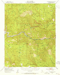
1952 Map of Patterson Mountain
USGS Topo · Published 1955About this map
Patterson Mountain towers over a landscape defined by the winding course of the Kings River and the emerging infrastructure of the early 1950s. This survey records a critical period in the region's geography as the waters of the Pine Flat Reservoir were poised to alter the lower canyons. The map preserves the location of remote outposts such as Balch Camp and Kellers Ranch, alongside industrial and conservation markers like the State Fish Hatchery and Powerhouse.
Find a feature on this map
57 named features on this map. Tap any name to fly to it.
Don’t see what you’re looking for? This feature index may not catch every label — zoom into the map to look around manually.
Map Details
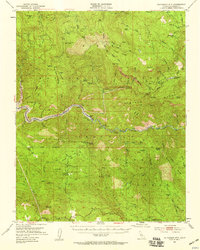
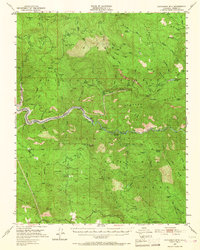
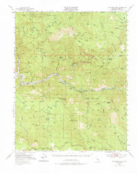
Editions of this 1952 Patterson Mountain Map
5 editions found

Other maps of this area

1903 · Tehipite
USGS Topo · 1:125,000

1904 · Kaiser
USGS Topo · 1:125,000

1905 · Tehipite
USGS Topo · 1:125,000

1912 · Mt. Goddard
USGS Topo · 1:125,000

1921 · Squaw Valley
USGS Topo · 1:31,680

1922 · Trimmer
USGS Topo · 1:96,000

1924 · Citrus Cove
USGS Topo · 1:31,680

1924 · Dinuba
USGS Topo · 1:125,000

1942 · Watts Valley
USGS Topo · 1:62,500

1942 · Dunlap
USGS Topo · 1:62,500