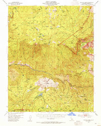
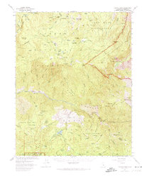
1952 Map of Tehipite Dome
USGS Topo · Published 1955About this map
Tehipite Dome anchors this high-elevation terrain where the Kings River carves through the Sierra Nevada landscape. The map records a transition in land use, showing the protected reaches of Kings Canyon National Park alongside the industrial and recreational history of the Sierra National Forest. One can trace the legacy of the giant sequoias through named stands like the Converse Basin Grove and Indian Basin Grove, which are explicitly outlined. The settlement of Hume and nearby Hume Lake serve as focal points for local development, while more remote outposts like Bartons Resort and the Crown Valley Guard Station indicate the era's backcountry management. Topographic details highlight dramatic features such as Boyden Cave and the Gorge of Despair, providing a look at the region's complex geology before modern infrastructure extensively altered these corridors.
Find a feature on this map
93 named features on this map. Tap any name to fly to it.
Don’t see what you’re looking for? This feature index may not catch every label — zoom into the map to look around manually.
Map Details
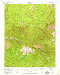
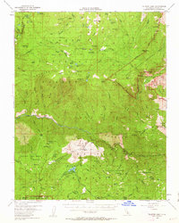
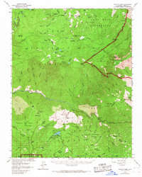
Editions of this 1952 Tehipite Dome Map
5 editions found
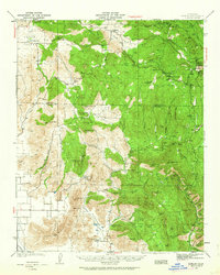
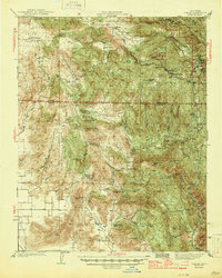
Other maps of this area

1903 · Tehipite
USGS Topo · 1:125,000

1904 · Kaiser
USGS Topo · 1:125,000

1905 · Tehipite
USGS Topo · 1:125,000

1912 · Mt. Goddard
USGS Topo · 1:125,000

1922 · Trimmer
USGS Topo · 1:96,000

1924 · Dinuba
USGS Topo · 1:125,000
1942 · Dunlap
USGS Topo · 1:62,500
1944 · Dunlap
USGS Topo · 1:62,500

1947 · Mariposa
USGS Topo · 1:250,000

1948 · Fresno
USGS Topo · 1:250,000