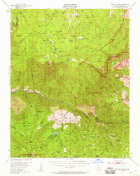
1952 Map of Tehipite Dome
USGS Topo · Published 1959About this map
The High Sierra wilderness of Fresno County is documented here during the early 1950s, centering on the massive granite architecture of Tehipite Dome and the surrounding Tehipite Valley. The landscape is dominated by the deeply carved canyons of the Kings River, including its Middle and South Forks. To the south, the map highlights the Converse Basin and the Gen Grant Grove Section, where the survey outlines specific groves of Sierra Redwoods-Sequoia Gigantea. Settlement is sparse and focused on seasonal or resource-based outposts like Hume at Hume Lake, the historic Camp Seven, and Bartons Resort. High-altitude meadows such as Crown Valley and Round Corral Meadow provide breaks in the vertical terrain, which is otherwise defined by prominent landmarks like Obelisk and the Monarch Divide. This survey captures the region's transition into a more formally managed wilderness area under the jurisdiction of several national forests and parks.
Find a feature on this map
114 named features on this map. Tap any name to fly to it.
Don’t see what you’re looking for? This feature index may not catch every label — zoom into the map to look around manually.
Map Details
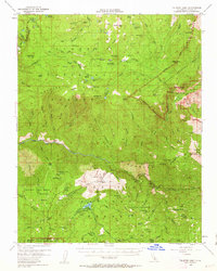
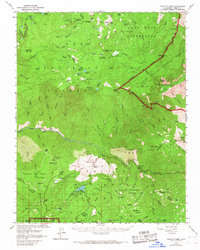
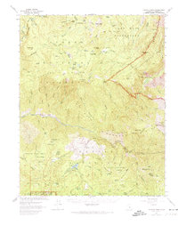
Editions of this 1952 Tehipite Dome Map
5 editions found

Other maps of this area

1903 · Tehipite
USGS Topo · 1:125,000

1904 · Kaiser
USGS Topo · 1:125,000

1905 · Tehipite
USGS Topo · 1:125,000

1912 · Mt. Goddard
USGS Topo · 1:125,000

1922 · Trimmer
USGS Topo · 1:96,000

1924 · Dinuba
USGS Topo · 1:125,000

1942 · Dunlap
USGS Topo · 1:62,500

1944 · Dunlap
USGS Topo · 1:62,500

1947 · Mariposa
USGS Topo · 1:250,000

1948 · Fresno
USGS Topo · 1:250,000