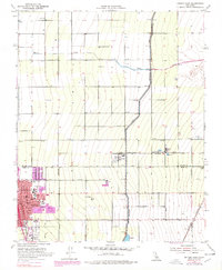
1953 Map of Delano East
USGS Topo · Published 1979About this map
The agricultural landscape of Delano and the Tulare-Kern county line comes into focus in this mid-century survey. The area is defined by a rigorous grid of section lines and irrigation infrastructure, most notably the Friant-Kern Canal which cuts diagonally across the eastern plains. In the western portion of the sheet, the urban core of Delano shows a cluster of civic and educational landmarks, including the Union High Sch, St Marys School, and Delano Terrace School. The Southern Pacific railroad parallels the main highway, supporting the local economy evidenced by the Winery and Wineries located near the town center. Small outlying settlements like Jovista, Trocha, and Bassett are scattered among the fields, while the White River and Rag Gulch provide the primary natural drainage features through the orchard-dotted terrain.
Find a feature on this map
33 named features on this map. Tap any name to fly to it.
Don’t see what you’re looking for? This feature index may not catch every label — zoom into the map to look around manually.
Map Details
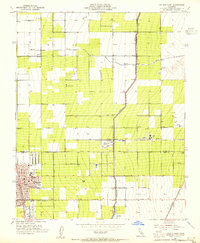
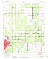
Editions of this 1953 Delano East Map
Other maps of this area

1927 · McFarland
USGS Topo · 1:31,680

1929 · Delano
USGS Topo · 1:31,680

1929 · Sausalito School
USGS Topo · 1:31,680

1929 · Richgrove
USGS Topo · 1:31,680

1929 · Pixley
USGS Topo · 1:31,680

1929 · Stone
USGS Topo · 1:31,680

1929 · Ducor
USGS Topo · 1:31,680

1930 · McFarland
USGS Topo · 1:31,680

1930 · Pond
USGS Topo · 1:31,680

1931 · Deepwell Ranch
USGS Topo · 1:31,680
Featured Places
- Delano, CA
- Delano Mobile Home Park, Delano
- Cypress Gardens Mobile Home Community, Delano
- Kern County, CA
- Tulare County, CA