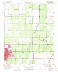
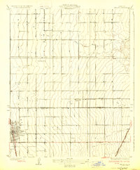
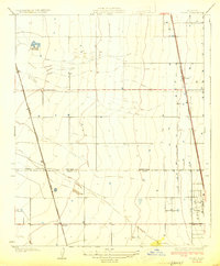
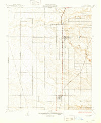
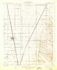
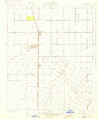
1953 Map of Delano East
USGS Topo · Published 1971About this map
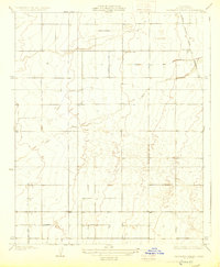
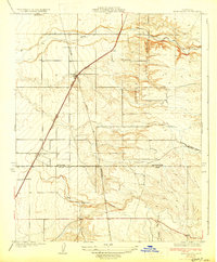
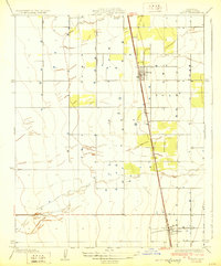
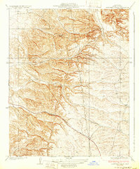
Delano anchors the southwestern portion of this Central Valley survey, straddling the Tulare Co Kern Co boundary. The landscape is defined by the rigid geometry of agricultural development and water management, most notably the massive Friant-Kern Canal which bisects the eastern half of the sheet. The town center is densely packed with civic and educational institutions, including City Hall, Memorial Stadium, and several schools such as St Marys School and Union High Sch. The influence of the local viticulture industry is visible through the presence of a Winery and broader wineries nearby.
Find a feature on this map
31 named features on this map. Tap any name to fly to it.
Don’t see what you’re looking for? This feature index may not catch every label — zoom into the map to look around manually.
Map Details
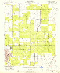
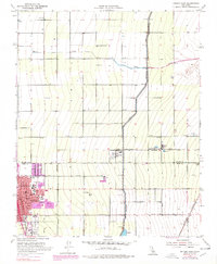
Editions of this 1953 Delano East Map
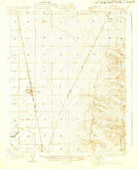
Other maps of this area
1927 · McFarland
USGS Topo · 1:31,680
1929 · Delano
USGS Topo · 1:31,680
1929 · Sausalito School
USGS Topo · 1:31,680
1929 · Richgrove
USGS Topo · 1:31,680
1929 · Pixley
USGS Topo · 1:31,680
1929 · Stone
USGS Topo · 1:31,680
1929 · Ducor
USGS Topo · 1:31,680
1930 · McFarland
USGS Topo · 1:31,680
1930 · Pond
USGS Topo · 1:31,680
1931 · Deepwell Ranch
USGS Topo · 1:31,680
Featured Places
- Delano, CA
- Delano Mobile Home Park, Delano
- Cypress Gardens Mobile Home Community, Delano
- Kern County, CA
- Tulare County, CA