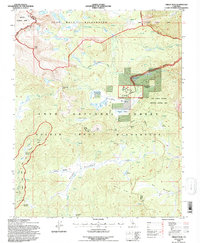
1994 Map of Cirque Peak
USGS Topo · Published 1997About this map
Cirque Peak towers over a high-altitude landscape defined by glacial basins and alpine meadows during this 1994 revision. The map reveals a complex network of pack trails and established routes including the Pacific Crest National Scenic Trail, which winds through the Golden Trout Wilderness and the John Muir Wilderness. This area, managed by the Inyo National Forest, shows the intersection of conservation and historical land use.
Find a feature on this map
50 named features on this map. Tap any name to fly to it.
Don’t see what you’re looking for? This feature index may not catch every label — zoom into the map to look around manually.
Map Details
Editions of this 1994 Cirque Peak Map
This is the sole edition of this map. No revisions or reprints were ever made.
Other maps of this area

1905 · Olancha
USGS Topo · 1:125,000

1907 · Olancha
USGS Topo · 1:125,000

1907 · Mt. Whitney
USGS Topo · 1:125,000

1919 · Mt. Whitney
USGS Topo · 1:125,000

1937 · Mt. Whitney
USGS Topo · 1:125,000

1948 · Fresno
USGS Topo · 1:250,000

1955 · Fresno
USGS Topo · 1:250,000

1956 · Fresno
USGS Topo · 1:250,000

1956 · Mount Whitney
USGS Topo · 1:62,500

1956 · Olancha
USGS Topo · 1:62,500