1950 Map of Sausalito School
USGS Topo · Published 1950About this map
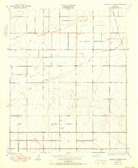
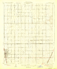
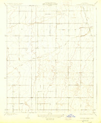
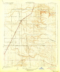
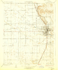
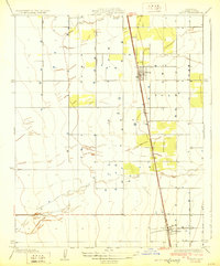
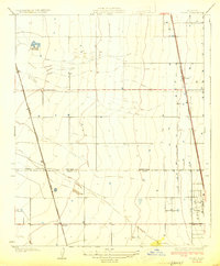
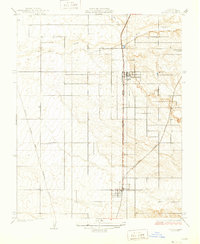
Deer Creek meanders through the heart of this agricultural landscape in Tulare County, defining the drainage patterns of a region dominated by surveyed section lines and irrigation potential. The local community is anchored by rural education centers like Sausalito Sch and Zion Sch, which reflect the early 20th-century settlement pattern of the San Joaquin Valley. This 1950 edition, based on a 1929 survey by A.B. Searle, captures the essential infrastructure that drove the area's development, including the Southern Pacific railroad corridor and the Edison Transmission Line. The grid of township and range lines, such as R. 25 E. and R. 26 E., underscores the orderly division of land for large-scale cultivation. Topographic contours are exceptionally sparse, with a five-foot interval illustrating the remarkable flatness of the valley floor before mid-century modernizations altered the local water table.
Find a feature on this map
8 named features on this map. Tap any name to fly to it.
Don’t see what you’re looking for? This feature index may not catch every label — zoom into the map to look around manually.
Map Details
Editions of this 1950 Sausalito School Map
This is the sole edition of this map. No revisions or reprints were ever made.
Other maps of this area
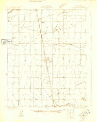
1925 · Tipton
USGS Topo · 1:31,680
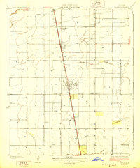
1928 · Tipton
USGS Topo · 1:31,680
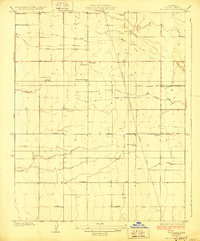
1928 · Woodville
USGS Topo · 1:31,680
1929 · Delano
USGS Topo · 1:31,680
1929 · Sausalito School
USGS Topo · 1:31,680
1929 · Richgrove
USGS Topo · 1:31,680
1929 · Porterville
USGS Topo · 1:31,680
1929 · Pixley
USGS Topo · 1:31,680
1929 · Stone
USGS Topo · 1:31,680
1929 · Ducor
USGS Topo · 1:31,680