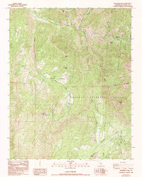
1986 Map of Dennison Peak
USGS Topo · Published 1994About this map
Good Hope Mines and high-altitude lookouts define this mid-1980s terrain in Tulare County, where the southern reaches of Sequoia National Park meet the Sequoia National Forest. The landscape is dominated by the steep drainage of the South Fork Kaweah River in the north and the North Fork Tule River to the south. Central to the map is the remote Grouse Valley, a pocket of moderate elevation surrounded by significant peaks like Cahoon Mtn and Dennison Peak. Local history and land use are evidenced by the Blue Ridge Lookout and adjacent Blue Ridge Radio Facilities, which occupy the prominent western heights of Blue Ridge. The presence of Peck Cabin and the South Fork Ranger Station highlights the administrative and early settlement patterns of this high-country wilderness.
Find a feature on this map
34 named features on this map. Tap any name to fly to it.
Don’t see what you’re looking for? This feature index may not catch every label — zoom into the map to look around manually.
Map Details
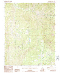
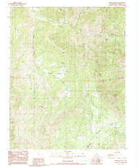
Editions of this 1986 Dennison Peak Map
3 editions found
Other maps of this area

1904 · Kaweah
USGS Topo · 1:125,000

1909 · Kaweah
USGS Topo · 1:125,000

1937 · Kaweah
USGS Topo · 1:125,000

1948 · Fresno
USGS Topo · 1:250,000

1955 · Fresno
USGS Topo · 1:250,000

1956 · Fresno
USGS Topo · 1:250,000

1956 · Mineral King
USGS Topo · 1:62,500
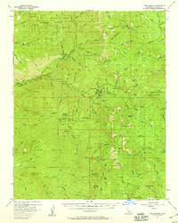
1956 · Camp Nelson
USGS Topo · 1:62,500
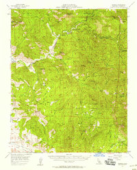
1957 · Kaweah
USGS Topo · 1:62,500
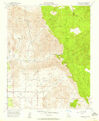
1957 · Frazier Valley
USGS Topo · 1:24,000