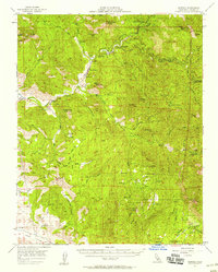
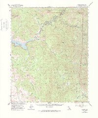
1957 Map of Kaweah
USGS Topo · Published 1958About this map
Three Rivers serves as the focal point of this 1950s terrain study, situated at the confluence where the multiple forks of the Kaweah River converge. The landscape is defined by the sharp transition from the Yokohl Valley floor to the high peaks of Sequoia National Park and Sequoia National Forest. Notable administrative and infrastructure markers include the Ash Mountain Natl Park Hdqrs and a Powerhouse near Hammond, reflecting the early management of these protected lands and the utilization of mountain water for energy. Rural life is evidenced by Blue Ridge School, isolated sites like Peek Cabin, and subterranean features such as Clough Cave and Paradise Cave. The map also captures specialized land uses, from the Tulare County Airport to the Blue Ridge Lookout, providing a detailed look at how transportation and fire monitoring were organized in the mid-century Sierra foothills.
Find a feature on this map
73 named features on this map. Tap any name to fly to it.
Don’t see what you’re looking for? This feature index may not catch every label — zoom into the map to look around manually.
Map Details
Editions of this 1957 Kaweah Map
5 editions found
Other maps of this area

1903 · Tehipite
USGS Topo · 1:125,000

1904 · Kaweah
USGS Topo · 1:125,000

1905 · Tehipite
USGS Topo · 1:125,000

1909 · Kaweah
USGS Topo · 1:125,000

1922 · Trimmer
USGS Topo · 1:96,000

1924 · Dinuba
USGS Topo · 1:125,000

1925 · Rocky Hill
USGS Topo · 1:31,680

1927 · Rocky Hill
USGS Topo · 1:31,680

1928 · Lemon Cove
USGS Topo · 1:31,680

1928 · Lindsay
USGS Topo · 1:31,680