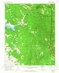
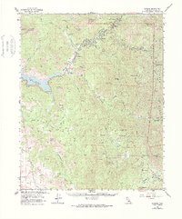
1957 Map of Kaweah
USGS Topo · Published 1968About this map
Three Rivers and the North Fork Kaweah River valley dominate this mid-century survey of the Sierra Nevada foothills. The landscape transitions from the agricultural flats of Yokohl Valley and the rising waters of Lake Kaweah to the high-country administration of Sequoia National Park. Civic and economic life is centered around the confluence of the forks, where infrastructure like the Union Sch, a Powerhouse, and the Three Rivers Golf Club sit alongside a complex network of flumes and gaging stations.
Find a feature on this map
72 named features on this map. Tap any name to fly to it.
Don’t see what you’re looking for? This feature index may not catch every label — zoom into the map to look around manually.
Map Details
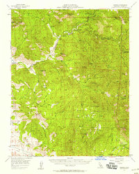
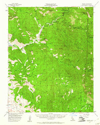
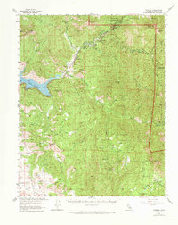
Editions of this 1957 Kaweah Map
5 editions found
Other maps of this area

1903 · Tehipite
USGS Topo · 1:125,000

1904 · Kaweah
USGS Topo · 1:125,000

1905 · Tehipite
USGS Topo · 1:125,000

1909 · Kaweah
USGS Topo · 1:125,000

1922 · Trimmer
USGS Topo · 1:96,000

1924 · Dinuba
USGS Topo · 1:125,000

1925 · Rocky Hill
USGS Topo · 1:31,680

1927 · Rocky Hill
USGS Topo · 1:31,680

1928 · Lemon Cove
USGS Topo · 1:31,680

1928 · Lindsay
USGS Topo · 1:31,680