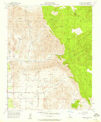
1957 Map of Frazier Valley
USGS Topo · Published 1958About this map
Frazier Valley and the surrounding Rocky Hills define this landscape on the eastern edge of the San Joaquin Valley during the late 1950s. The map reveals a complex water management system essential for agriculture and ranching, evidenced by a dense network of unnamed reservoirs and a long ditch tracing the contours of the foothills. Spanish Camp sits in the high ground to the east, while the lower elevations near the Frazier Highway show signs of local infrastructure including a Cemetery and various water tanks. Economic activity in this Tulare County region is marked by small-scale resource extraction, including several prospects and a gravel pit near the banks of Frazier Creek. Drainage from the higher elevations flows westward through Lewis Creek and Yokohl Valley Creek, illustrating the natural watershed that supported the area's development.
Find a feature on this map
25 named features on this map. Tap any name to fly to it.
Don’t see what you’re looking for? This feature index may not catch every label — zoom into the map to look around manually.
Map Details
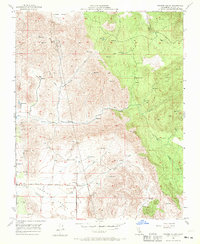
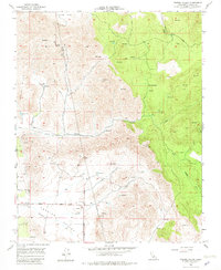
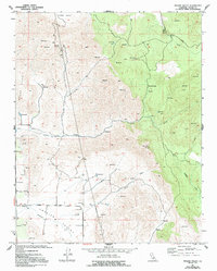
Editions of this 1957 Frazier Valley Map
4 editions found
Other maps of this area

1904 · Kaweah
USGS Topo · 1:125,000

1909 · Kaweah
USGS Topo · 1:125,000

1925 · Rocky Hill
USGS Topo · 1:31,680

1927 · Rocky Hill
USGS Topo · 1:31,680

1928 · Lindsay
USGS Topo · 1:31,680

1929 · Porterville
USGS Topo · 1:31,680

1937 · Kaweah
USGS Topo · 1:125,000
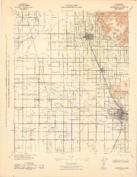
1942 · Porterville
USGS Topo · 1:62,500

1948 · Fresno
USGS Topo · 1:250,000
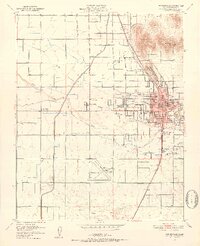
1951 · Porterville
USGS Topo · 1:24,000