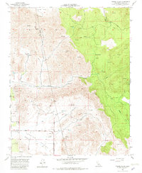
1957 Map of Frazier Valley
USGS Topo · Published 1982About this map
Frazier Valley and the Rocky Hills define this Tulare County landscape, where agriculture and livestock grazing intersect with the Sierra Nevada foothills during the mid-1950s. The drainage patterns are clearly marked by Yokohl Valley Creek and Lewis Creek, while numerous reservoirs and water tanks suggest a highly managed water system for the region's ranching and farming operations.
Find a feature on this map
24 named features on this map. Tap any name to fly to it.
Don’t see what you’re looking for? This feature index may not catch every label — zoom into the map to look around manually.
Map Details
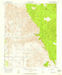
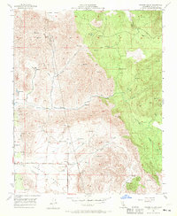
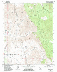
Editions of this 1957 Frazier Valley Map
4 editions found
Other maps of this area

1904 · Kaweah
USGS Topo · 1:125,000

1909 · Kaweah
USGS Topo · 1:125,000

1925 · Rocky Hill
USGS Topo · 1:31,680

1927 · Rocky Hill
USGS Topo · 1:31,680

1928 · Lindsay
USGS Topo · 1:31,680

1929 · Porterville
USGS Topo · 1:31,680

1937 · Kaweah
USGS Topo · 1:125,000
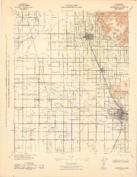
1942 · Porterville
USGS Topo · 1:62,500

1948 · Fresno
USGS Topo · 1:250,000
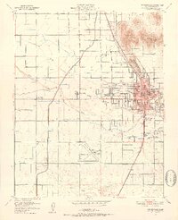
1951 · Porterville
USGS Topo · 1:24,000