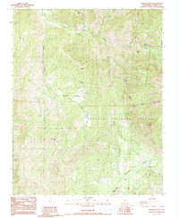
1986 Map of Dennison Peak
USGS Topo · Published 1992About this map
Good Hope Mines and the high ridges of the Sierra Nevada foothills define this terrain in Tulare County. The landscape is a transition between the Sequoia National Forest and Sequoia National Park, where the South Fork Kaweah River and North Fork Tule River carve deep drainages. Human activity in this mid-1980s snapshot is largely seasonal and administrative, centered around the South Fork Ranger Station, the South Fork Campground, and the Blue Ridge Lookout. Narrow paths like the Backbone Creek Trail provide the primary access through the steep elevations. Notable peaks such as Dennison Peak and Cahoon Mtn tower over drainages like Devils Canyon and Grouse Valley, while the isolated Peck Cabin sits far from the established forest boundaries.
Find a feature on this map
33 named features on this map. Tap any name to fly to it.
Don’t see what you’re looking for? This feature index may not catch every label — zoom into the map to look around manually.
Map Details
Editions of this 1986 Dennison Peak Map
3 editions found
Other maps of this area

1904 · Kaweah
USGS Topo · 1:125,000

1909 · Kaweah
USGS Topo · 1:125,000

1937 · Kaweah
USGS Topo · 1:125,000

1948 · Fresno
USGS Topo · 1:250,000

1955 · Fresno
USGS Topo · 1:250,000

1956 · Fresno
USGS Topo · 1:250,000

1956 · Mineral King
USGS Topo · 1:62,500
1956 · Camp Nelson
USGS Topo · 1:62,500
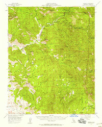
1957 · Kaweah
USGS Topo · 1:62,500
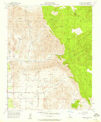
1957 · Frazier Valley
USGS Topo · 1:24,000