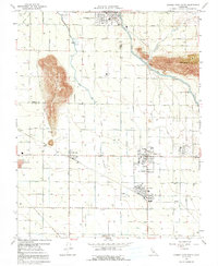
1966 Map of Orange Cove South
USGS Topo · Published 1991About this map
Agricultural development in the San Joaquin Valley is anchored by the presence of Smith Mountain and Curtis Mountain, which rise sharply from the orchard-lined floor of Tulare County. The 1966 survey records a landscape shaped by water management, featuring the Kern Canal, Alta Canal, and the Bump and Edimiston Aqueduct. These waterways support the established communities of Orosi, Cutler, and Orange Cove, while the Atchison Topeka and Santa Fe Railroad and Southern Pacific Railroad provide vital transit links for the region's produce. Genealogists and local historians will find significant landmarks such as the Smith Mtn Cem and several rural school sites, including Palm Sch and El Monte Sch, which served the scattered farmsteads of the mid-20th century.
Find a feature on this map
68 named features on this map. Tap any name to fly to it.
Don’t see what you’re looking for? This feature index may not catch every label — zoom into the map to look around manually.
Map Details
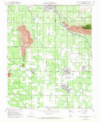
Editions of this 1966 Orange Cove South Map
2 editions found
Other maps of this area

1921 · Squaw Valley
USGS Topo · 1:31,680

1921 · Stokes Mountain
USGS Topo · 1:24,000

1922 · Trimmer
USGS Topo · 1:96,000

1923 · Sultana
USGS Topo · 1:31,680

1923 · Wahtoke
USGS Topo · 1:31,680

1924 · Reedley
USGS Topo · 1:31,680

1924 · Citrus Cove
USGS Topo · 1:31,680

1924 · Dinuba
USGS Topo · 1:125,000

1924 · Stokes Mountain
USGS Topo · 1:31,680

1926 · Ivanhoe
USGS Topo · 1:31,680